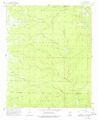
1960 Map of Mist NW
USGS Topo · Published 1977About this map
Bearhouse Creek and its many tributaries, including Miller Creek and Gillam Creek, dominate this landscape at the boundary of Drew and Ashley counties. The map reveals a rural settlement pattern defined by small rural churches and family burying grounds situated on the higher ground between drainage systems. Local landmarks like Pleasant Grove Ch and Center Point Ch served as community anchors during the mid-twentieth century, while Cotham Cem, Jordan Cem, and Judkins Cem provide significant points of interest for genealogists tracing families in the Bearhouse region. The intricate network of small streams such as Lost Creek, Wolf Creek, and Rolling Creek illustrates the natural drainage of this timbered and agricultural area before more intensive modern development.
Find a feature on this map
18 named features on this map. Tap any name to fly to it.
Don’t see what you’re looking for? This feature index may not catch every label — zoom into the map to look around manually.
Map Details
Editions of this 1960 Mist NW Map
2 editions found
Other maps of this area

1935 · Mist
USGS Topo · 1:62,500

1935 · Cominto
USGS Topo · 1:62,500

1952 · Fountain Hill
USGS Topo · 1:24,000

1953 · Greenwood
USGS Topo · 1:250,000

1956 · Greenwood
USGS Topo · 1:250,000

1960 · Snyder
USGS Topo · 1:24,000

1960 · Mist
USGS Topo · 1:62,500

1960 · Collins
USGS Topo · 1:24,000

1960 · Collins
USGS Topo · 1:62,500
1960 · Line
USGS Topo · 1:24,000