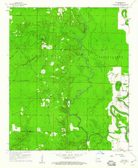
1960 Map of Line
USGS Topo · Published 1961About this map
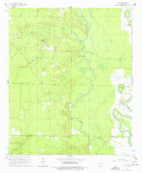
Bartholomew Bayou meanders along the eastern edge of this 1960 survey, defining a landscape of low-lying wetlands and complex drainage patterns between the Drew and Ashley County line. The terrain is characterized by numerous small watercourses, including Cutoff Creek and Wolf Creek, which feed into the larger bayou system. Human settlement is scattered, anchored by small community centers like Line and the Wolf-Creek Camp.
Find a feature on this map
24 named features on this map. Tap any name to fly to it.
Don’t see what you’re looking for? This feature index may not catch every label — zoom into the map to look around manually.
Map Details
Editions of this 1960 Line Map
2 editions found
Other maps of this area

1935 · Mist
USGS Topo · 1:62,500

1935 · Cominto
USGS Topo · 1:62,500

1936 · McGehee
USGS Topo · 1:62,500

1936 · Lake Village
USGS Topo · 1:62,500

1937 · McGehee
USGS Topo · 1:62,500

1953 · Greenwood
USGS Topo · 1:250,000

1955 · Lake Village
USGS Topo · 1:62,500

1955 · McGehee
USGS Topo · 1:62,500

1956 · Greenwood
USGS Topo · 1:250,000

1960 · Snyder
USGS Topo · 1:24,000