Loading...
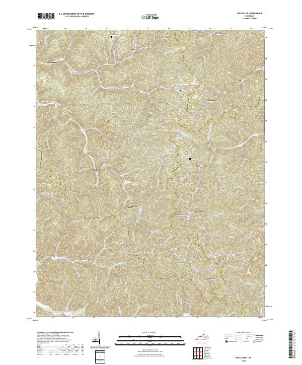
Loading map...2022 Map of Mistletoe
USGS Topo · Published 2022About this map
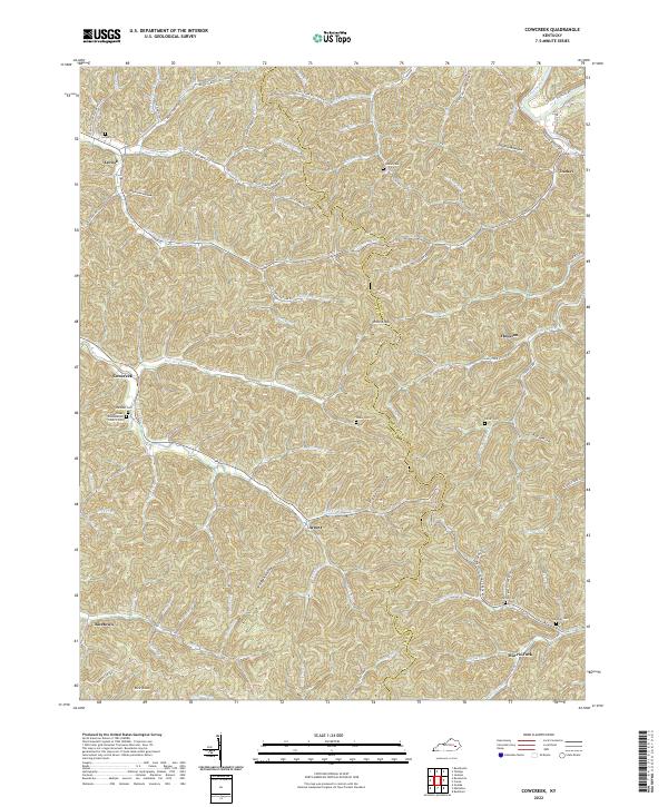
Whoopflarea and Doorway anchor this pocket of the Kentucky coalfields, where the borders of Owsley, Breathitt, Clay, and Perry counties converge in a landscape of narrow hollows and high ridges. The map reveals a settlement pattern deeply tied to the winding watercourses of Big Twin Cr and Bullskin Cr. Notable family and community landmarks are scattered across the terrain, from the Horn Hill Cem in the north to the Loose Angel Cem near the center.
Find a feature on this map
102 named features on this map. Tap any name to fly to it.
Don’t see what you’re looking for? This feature index may not catch every label — zoom into the map to look around manually.
Map Details
Date Portrayed2022
Date Published2022
PublisherU.S. Geological Survey
Map TypeTopographic
Scale1:24000
Physical Dimensions24 x 29 inches
Editions of this 2022 Mistletoe Map
This is the sole edition of this map. No revisions or reprints were ever made.
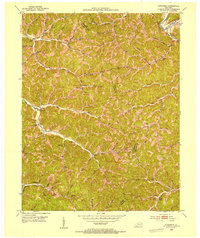
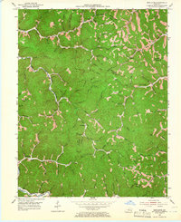
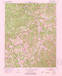
Historical Maps of Mistletoe Through Time
8 maps found
Featured Locations
Source Details
SourceU.S. Geological Survey
CopyrightPublic Domain