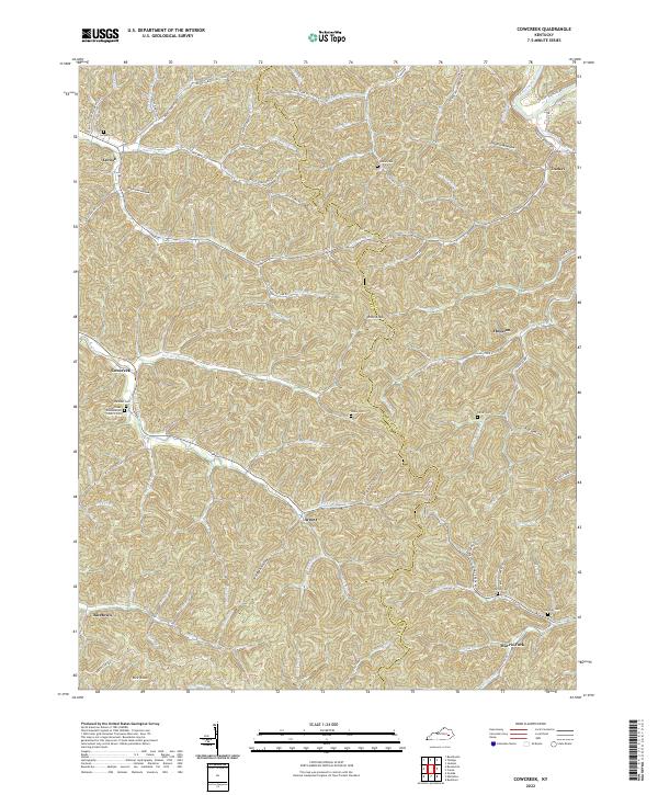
2022 Map of Cowcreek
USGS Topo · Published 2022About this map
The hills of Owsley County and neighboring Breathitt County are defined by the winding drainages of the Middle Fork Kentucky River. This landscape is dotted with small settlements like Cowcreek, Arnett, and Ricetown, where life has historically centered around the narrow hollows and creek forks. The area is rich with family history, evidenced by numerous hillside cemeteries such as the Johnson Cemetery and Noble Cemetery, and community pillars like the Cow Creek Presbyterian Church. High points such as Rose Knob and Rice Knob stand above a network of waterways including Spencer Fork and Jetts Creek. These ridges and valleys have dictated the paths of local roads like State Hwy 708 and State Hwy 1202, which follow the natural contours of the land to connect these established mountain communities.
Find a feature on this map
91 named features on this map. Tap any name to fly to it.
Don’t see what you’re looking for? This feature index may not catch every label — zoom into the map to look around manually.
Map Details
Editions of this 2022 Cowcreek Map
This is the sole edition of this map. No revisions or reprints were ever made.
Other maps of this area

1889 · Salyersville
USGS Topo · 1:125,000

1891 · Manchester
USGS Topo · 1:125,000

1891 · Hazard
USGS Topo · 1:125,000

1891 · Salyersville
USGS Topo · 1:125,000

1892 · Beattyville
USGS Topo · 1:125,000

1899 · Salyersville
USGS Topo · 1:125,000

1913 · Buckhorn
USGS Topo · 1:62,500

1951 · Jackson
USGS Topo · 1:24,000

1952 · Tallega
USGS Topo · 1:24,000

1952 · Beattyville
USGS Topo · 1:24,000