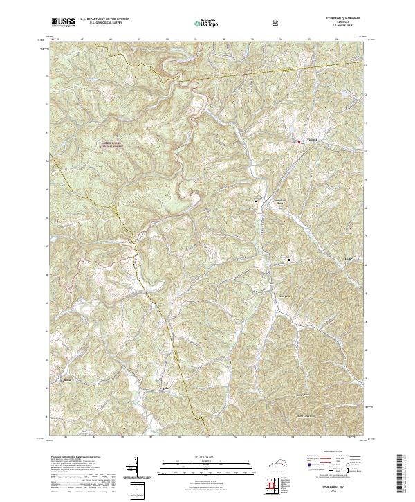
2022 Map of Sturgeon
USGS Topo · Published 2022About this map
Sturgeon Creek and its many winding tributaries like Little Sturgeon Cr and Spruce Fork define the landscape of this Owsley County region. The rugged topography of the Daniel Boone National Forest dominates the western half, while the eastern side is dotted with historic rural settlements including Travellers Rest, Sturgeon, and Vincent. This area is characterized by a high density of small family burial grounds, such as the John Tyler Brewer Cem and Aubrey Neely Cem, which are tucked into the hillsides along roads like Mahaffy Rd and Bother Rd. The network of creeks and ridges shaped the development of early Kentucky mountain communities, with notable elevations like Hunters Knob and Island Creek Knob standing above the drainage basins of Blackwater Cr and Wolf Pen Cr.
Find a feature on this map
100 named features on this map. Tap any name to fly to it.
Don’t see what you’re looking for? This feature index may not catch every label — zoom into the map to look around manually.
Map Details
Editions of this 2022 Sturgeon Map
This is the sole edition of this map. No revisions or reprints were ever made.
Other maps of this area

1891 · Manchester
USGS Topo · 1:125,000

1892 · Beattyville
USGS Topo · 1:125,000

1952 · Leighton
USGS Topo · 1:24,000

1952 · Beattyville
USGS Topo · 1:24,000

1952 · Heidelberg
USGS Topo · 1:24,000

1953 · Mc Kee
USGS Topo · 1:24,000

1953 · Oneida
USGS Topo · 1:24,000

1953 · Tyner
USGS Topo · 1:24,000

1953 · Booneville
USGS Topo · 1:24,000

1953 · Sturgeon
USGS Topo · 1:24,000