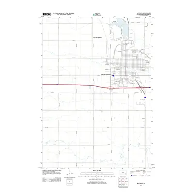
2012 Map of Mitchell
USGS Topo · Published 2012About this map
Dakota Wesleyan University serves as a central hub for this portion of Davison County, surrounded by established residential developments and suburban growth. The landscape is defined by the drainage patterns of Firesteel Cr and Enemy Cr, which cut through the terrain south of the expansive Lake Mitchell. Newer residential expansions like River Bluff Addition, Sand Hill Subdivision, and Kargas Subdivision illustrate the outward reach of the city's infrastructure during the early 21st century. Genealogists will find the locations of Graceland Cem, Calvary Cem, and Sunset Memorial Park clearly marked. The presence of the Telstar Landing Field east of the university highlights the specialized aviation facilities that supported the local community's transportation and agricultural needs.
Find a feature on this map
101 named features on this map. Tap any name to fly to it.
Don’t see what you’re looking for? This feature index may not catch every label — zoom into the map to look around manually.
Map Details
Editions of this 2012 Mitchell Map
This is the sole edition of this map. No revisions or reprints were ever made.
Other maps of this area

1899 · Mitchell
USGS Topo · 1:125,000

1899 · Alexandria
USGS Topo · 1:125,000

1955 · Sioux Falls
USGS Topo · 1:250,000

1955 · Mitchell
USGS Topo · 1:250,000

1957 · Ethan
USGS Topo · 1:24,000

1957 · Loomis
USGS Topo · 1:24,000

1957 · Riverside
USGS Topo · 1:24,000

1957 · Farwell
USGS Topo · 1:24,000

1957 · Mitchell
USGS Topo · 1:24,000

1958 · Sioux Falls
USGS Topo · 1:250,000