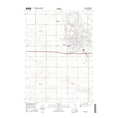
2015 Map of Mitchell
USGS Topo · Published 2015About this map
The city of Mitchell stands as a significant educational and residential hub on the South Dakota plains, shaped by the waters of Lake Mitchell to the north and the winding course of Enemy Creek to the south. This modern survey reflects the city's structured growth through the presence of institutions like Dakota Wesleyan University and the Mitchell Technical Institute, alongside established residential areas such as the River Bluff Addition and Kargas Subdivision. The landscape around the city is defined by its grid system of avenues and streets, including Country Drive and Indian Village Road, which connect the urban center to the surrounding agricultural terrain.
Find a feature on this map
121 named features on this map. Tap any name to fly to it.
Don’t see what you’re looking for? This feature index may not catch every label — zoom into the map to look around manually.
Map Details
Editions of this 2015 Mitchell Map
This is the sole edition of this map. No revisions or reprints were ever made.
Other maps of this area

1899 · Mitchell
USGS Topo · 1:125,000

1899 · Alexandria
USGS Topo · 1:125,000

1955 · Sioux Falls
USGS Topo · 1:250,000

1955 · Mitchell
USGS Topo · 1:250,000

1957 · Ethan
USGS Topo · 1:24,000

1957 · Loomis
USGS Topo · 1:24,000

1957 · Riverside
USGS Topo · 1:24,000

1957 · Farwell
USGS Topo · 1:24,000

1957 · Mitchell
USGS Topo · 1:24,000

1958 · Sioux Falls
USGS Topo · 1:250,000