
1972 Map of Mitchell Draw
USGS Topo · Published 1975About this map
The Powder River snakes through this high-plains landscape in Johnson County, marking a vital water source in a region defined by complex drainage systems. Recorded in the early 1970s, the terrain is characterized by a series of prominent breaks and divides, most notably the Kinney Divide and a dense network of seasonal watercourses such as Crazy Woman Creek and Mitchell Draw. These draws serve as primary landmarks for land navigation and property boundaries in the western ranching tradition.
Find a feature on this map
19 named features on this map. Tap any name to fly to it.
Don’t see what you’re looking for? This feature index may not catch every label — zoom into the map to look around manually.
Map Details
Editions of this 1972 Mitchell Draw Map
This is the sole edition of this map. No revisions or reprints were ever made.
Other maps of this area

1955 · Sheridan
USGS Topo · 1:250,000

1958 · Sheridan
USGS Topo · 1:250,000

1962 · Sheridan
USGS Topo · 1:250,000
1972 · Bear Draw
USGS Topo · 1:24,000
1972 · Lariat
USGS Topo · 1:24,000
1972 · Jewell Draw
USGS Topo · 1:24,000
1972 · Somerville Flats West
USGS Topo · 1:24,000
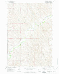
1972 · Floate Draw
USGS Topo · 1:24,000
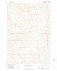
1972 · Arpan Butte
USGS Topo · 1:24,000
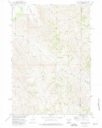
1972 · Livingston Draw
USGS Topo · 1:24,000