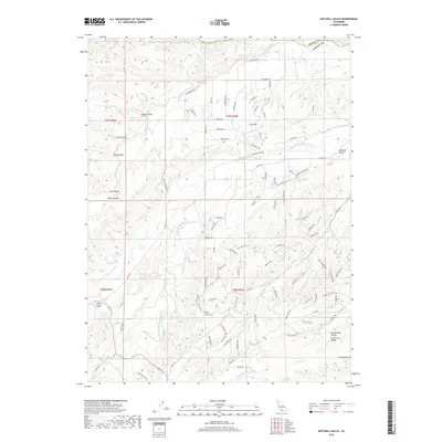
2018 Map of Mitchell Gulch
USGS Topo · Published 2018About this map
Cottonwood Creek and its complex drainage system define this landscape on the northern edge of the Sacramento Valley. The map details a transition from the lower Central Valley floor into the dissected upland terrain of southern Shasta County, characterized by a series of steep drainages including China Gulch, Packer Gulch, and Moboy Gulch. The settlement pattern follows the contours of the land, with residential roads like Deer Park Rd and Wilderness Trl carving through the hills above the South Fork Cottonwood Creek. Traces of the region's historical development appear in names like Old Gold Rd, hinting at the area's prospecting past. The geography remains largely defined by its natural watercourses, with Pine Cr and Hooker Cr meandering through the southern sections near the boundary of Tehama County.
Find a feature on this map
94 named features on this map. Tap any name to fly to it.
Don’t see what you’re looking for? This feature index may not catch every label — zoom into the map to look around manually.
Map Details
Editions of this 2018 Mitchell Gulch Map
This is the sole edition of this map. No revisions or reprints were ever made.
Other maps of this area

1890 · Red Bluff
USGS Topo · 1:250,000

1894 · Red Bluff
USGS Topo · 1:250,000

1932 · Olinda
USGS Topo · 1:31,680

1935 · Olinda
USGS Topo · 1:31,680

1947 · Anderson
USGS Topo · 1:62,500

1948 · Anderson
USGS Topo · 1:62,500

1949 · Colyear Springs
USGS Topo · 1:62,500

1951 · Red Bluff West
USGS Topo · 1:24,000

1952 · Blossom
USGS Topo · 1:24,000

1952 · Ono
USGS Topo · 1:62,500