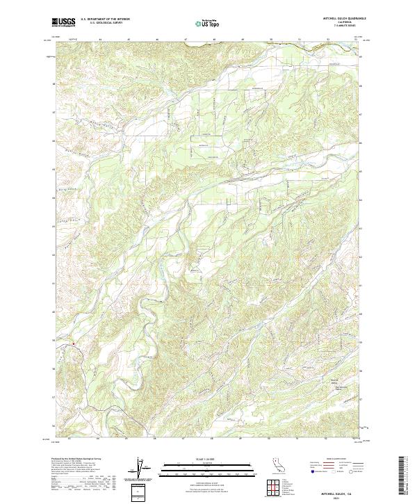
2021 Map of Mitchell Gulch
USGS Topo · Published 2021About this map
Sacramento Valley and the smaller Central Valley settlement define the southern reaches of this landscape, where the northern border of Tehama County meets Shasta County. The terrain is deeply incised by a series of drainages, most notably South Fork Cottonwood Creek and its namesake Mitchell Gulch. This 2021 survey illustrates a transitional zone where the flat valley floor begins to fold into the foothills, marked by numerous named ravines such as Moboy Gulch, Devils Gulch, and China Gulch. The road network reveals a mix of rural infrastructure and modern residential planning, with older routes like Old Gold Rd and Co Rte A5 intersecting newer developments. Water management and access are central themes, evident in the presence of Tehama Dam Dr and several smaller seasonal watercourses like Pine Cr and Hooker Cr that shape the local topography.
Find a feature on this map
93 named features on this map. Tap any name to fly to it.
Don’t see what you’re looking for? This feature index may not catch every label — zoom into the map to look around manually.
Map Details
Editions of this 2021 Mitchell Gulch Map
This is the sole edition of this map. No revisions or reprints were ever made.
Other maps of this area

1890 · Red Bluff
USGS Topo · 1:250,000

1894 · Red Bluff
USGS Topo · 1:250,000

1932 · Olinda
USGS Topo · 1:31,680

1935 · Olinda
USGS Topo · 1:31,680

1947 · Anderson
USGS Topo · 1:62,500

1948 · Anderson
USGS Topo · 1:62,500

1949 · Colyear Springs
USGS Topo · 1:62,500

1951 · Red Bluff West
USGS Topo · 1:24,000

1952 · Blossom
USGS Topo · 1:24,000

1952 · Ono
USGS Topo · 1:62,500