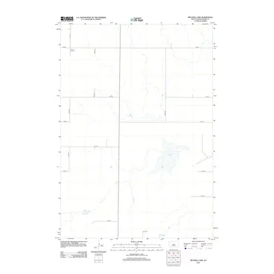
2012 Map of Mitchell Lake
USGS Topo · Published 2012About this map
Pleasant View Cem sits in the northwestern corner of this Hyde County landscape, a marker of the agricultural community that established itself along the section lines of the South Dakota prairie. The map reveals a disciplined grid of rural roads, including 334th Ave and 183rd St, which segment the terrain into the traditional mile-square sections of the Great Plains. Water is a defining but sparse element in this high-plains environment, represented by the namesake Mitchell Lake in the east and the smaller Lake Douglas to the southwest. These ephemeral-looking water bodies and the surrounding drainage patterns illustrate the natural hydrology that shaped local land use and farmstead placement in the early twenty-first century.
Find a feature on this map
14 named features on this map. Tap any name to fly to it.
Don’t see what you’re looking for? This feature index may not catch every label — zoom into the map to look around manually.
Map Details
Editions of this 2012 Mitchell Lake Map
This is the sole edition of this map. No revisions or reprints were ever made.
Other maps of this area

1949 · Mitchell Lake
USGS Topo · 1:24,000

1950 · Highmore NE
USGS Topo · 1:24,000

1950 · Mitchell Lake
USGS Topo · 1:24,000

1950 · Highmore
USGS Topo · 1:24,000

1950 · Highmore SE
USGS Topo · 1:24,000

1950 · Rezac Lake
USGS Topo · 1:24,000

1951 · Rice Lake
USGS Topo · 1:24,000

1951 · Rezac Lake
USGS Topo · 1:24,000

1953 · Huron
USGS Topo · 1:250,000

1954 · Huron
USGS Topo · 1:250,000