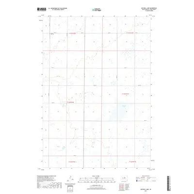
2017 Map of Mitchell Lake
USGS Topo · Published 2017About this map
Pleasant View Cem sits in the northwestern corner of this Hyde County landscape, marking a quiet point of interest in a region defined by its wide section-line grid and scattered prairie wetlands. The terrain is part of a larger agricultural and hydraulic system where seasonal water bodies dot the landscape between gravel roads like 334th Ave and 183rd St. Central to the drainage of the area is Mitchell Lake, a sprawling water feature that dominates the eastern-central portion of the quadrangle. Further south, Lake Douglas provides another significant landmark within the township lines of t113n r72w. This 2017 survey illustrates the enduring Public Land Survey System layout, with its precise township and range boundaries such as t114n r71w, which continue to dictate the placement of local thoroughfares like 185th St and 188th St.
Find a feature on this map
18 named features on this map. Tap any name to fly to it.
Don’t see what you’re looking for? This feature index may not catch every label — zoom into the map to look around manually.
Map Details
Editions of this 2017 Mitchell Lake Map
This is the sole edition of this map. No revisions or reprints were ever made.
Other maps of this area

1949 · Mitchell Lake
USGS Topo · 1:24,000

1950 · Highmore NE
USGS Topo · 1:24,000

1950 · Mitchell Lake
USGS Topo · 1:24,000

1950 · Highmore
USGS Topo · 1:24,000

1950 · Highmore SE
USGS Topo · 1:24,000

1950 · Rezac Lake
USGS Topo · 1:24,000

1951 · Rice Lake
USGS Topo · 1:24,000

1951 · Rezac Lake
USGS Topo · 1:24,000

1953 · Huron
USGS Topo · 1:250,000

1954 · Huron
USGS Topo · 1:250,000