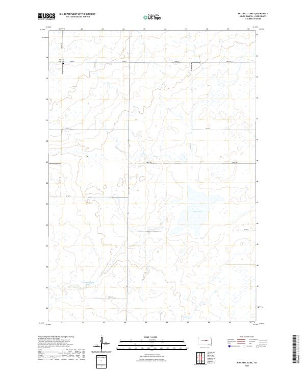
2021 Map of Mitchell Lake
USGS Topo · Published 2021About this map
Mitchell Lake and Lake Douglas are the primary focal points of this central South Dakota landscape, appearing here as they were documented in the early 2020s. The area is defined by its wide, open section lines and a grid of rural roads like 334th Ave and 183rd St that navigate the prairie terrain. Near the northwestern corner of the quadrangle sits the Pleasant View Cem, a key landmark for genealogical research and local history. The map's detailed boundary markings, including t114n r71w, reflect the persistent structure of the Public Land Survey System that has organized this agricultural region for generations. This modern topographic study by the U.S. Geological Survey illustrates how the few persistent water bodies and established cemeteries remain the anchor points for this rural community amidst a vast network of section roads.
Find a feature on this map
18 named features on this map. Tap any name to fly to it.
Don’t see what you’re looking for? This feature index may not catch every label — zoom into the map to look around manually.
Map Details
Editions of this 2021 Mitchell Lake Map
This is the sole edition of this map. No revisions or reprints were ever made.
Other maps of this area

1949 · Mitchell Lake
USGS Topo · 1:24,000

1950 · Highmore NE
USGS Topo · 1:24,000

1950 · Mitchell Lake
USGS Topo · 1:24,000

1950 · Highmore
USGS Topo · 1:24,000

1950 · Highmore SE
USGS Topo · 1:24,000

1950 · Rezac Lake
USGS Topo · 1:24,000

1951 · Rice Lake
USGS Topo · 1:24,000

1951 · Rezac Lake
USGS Topo · 1:24,000

1953 · Huron
USGS Topo · 1:250,000

1954 · Huron
USGS Topo · 1:250,000