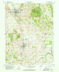
1960 Map of Mitchell
USGS Topo · Published 1961About this map
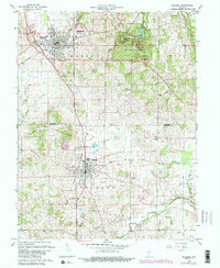
Mitchell and Orleans serve as the primary population centers on this mid-century survey, connected by the north-south transit of the Monon railroad. The landscape is defined by the unique karst topography of southern Indiana, specifically within the Spring Mill State Park boundaries. Here, a cluster of subterranean features including Hamer Cave, Donaldson Cave, and Twin Caves highlights the region's complex drainage system. This geological character is further evidenced by the path of the Lost River in the south. Academic and local history interests are represented by the Purdue Experimental Orchard and the historic Spring Mill Village. A significant historical boundary, the Indian Treaty Boundary, cuts diagonally across the terrain, marking an earlier era of land division and settlement near Tom Rice Hill.
Find a feature on this map
32 named features on this map. Tap any name to fly to it.
Don’t see what you’re looking for? This feature index may not catch every label — zoom into the map to look around manually.
Map Details
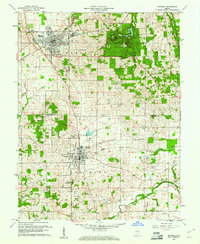
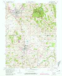
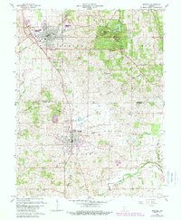
Editions of this 1960 Mitchell Map
5 editions found
Other maps of this area

1934 · Bedford
USGS Topo · 1:48,000

1935 · Oolitic
USGS Topo · 1:48,000

1937 · Bedford
USGS Topo · 1:62,500

1942 · Oolitic
USGS Topo · 1:62,500

1949 · Georgia
USGS Topo · 1:24,000

1950 · Mitchell
USGS Topo · 1:24,000

1951 · French Lick
USGS Topo · 1:24,000

1951 · Georgia
USGS Topo · 1:24,000

1956 · Vincennes
USGS Topo · 1:250,000

1957 · Vincennes
USGS Topo · 1:250,000