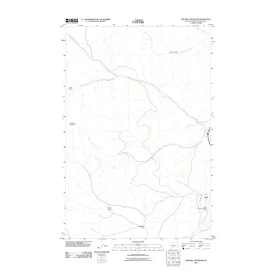
2011 Map of Mitchell Mountain
USGS Topo · Published 2011About this map
Sieben serves as the primary landmark in this corner of Lewis and Clark County, situated along the eastern edge of the map where irrigation is managed via the Sieben Ranch Ditch. The landscape is dominated by the prominence of Mitchell Mountain and the complex drainage system of the Big Belt Mountains, including Lyons Creek and Medicine Rock Creek. Water management and transportation routes are central to the area's layout, anchored by the Little Prickly Pear Creek Bridge and roads like Chevallier Dr.
Find a feature on this map
19 named features on this map. Tap any name to fly to it.
Don’t see what you’re looking for? This feature index may not catch every label — zoom into the map to look around manually.
Map Details
Editions of this 2011 Mitchell Mountain Map
This is the sole edition of this map. No revisions or reprints were ever made.
Other maps of this area

1889 · Helena
USGS Topo · 1:250,000

1893 · Helena
USGS Topo · 1:250,000

1899 · Helena
USGS Topo · 1:250,000

1903 · Helena
USGS Topo · 1:250,000

1943 · Hogan
USGS Topo · 1:125,000

1947 · Butte
USGS Topo · 1:250,000

1955 · Choteau
USGS Topo · 1:250,000

1957 · Choteau
USGS Topo · 1:250,000

1958 · Butte
USGS Topo · 1:250,000

1958 · Choteau
USGS Topo · 1:250,000