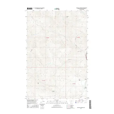
2017 Map of Mitchell Mountain
USGS Topo · Published 2017About this map
Mitchell Mtn anchors this terrain in Lewis and Clark County, where the high ridges of the Big Belt Mountains drop toward the Missouri River drainage. The small settlement of Sieben sits at the base of the hills, marking a pocket of development centered around the historic ranching operations in Hilger Valley. The water management of the era is evident in the Sieben Ranch Ditch, which draws from Little Prickly Pear Cr to support the local agriculture. A network of ranch and mountain roads, including Lyons Creek Rd and Medicine Rock Cr Rd, connects the various drainages. Numerous named gulches such as Miners Gulch and Glen Marie Gulch suggest a history of resource extraction or early homesteading tucked into the narrow valleys between the peaks.
Find a feature on this map
27 named features on this map. Tap any name to fly to it.
Don’t see what you’re looking for? This feature index may not catch every label — zoom into the map to look around manually.
Map Details
Editions of this 2017 Mitchell Mountain Map
This is the sole edition of this map. No revisions or reprints were ever made.
Other maps of this area

1889 · Helena
USGS Topo · 1:250,000

1893 · Helena
USGS Topo · 1:250,000

1899 · Helena
USGS Topo · 1:250,000

1903 · Helena
USGS Topo · 1:250,000

1943 · Hogan
USGS Topo · 1:125,000

1947 · Butte
USGS Topo · 1:250,000

1955 · Choteau
USGS Topo · 1:250,000

1957 · Choteau
USGS Topo · 1:250,000

1958 · Butte
USGS Topo · 1:250,000

1958 · Choteau
USGS Topo · 1:250,000