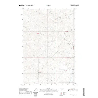
2020 Map of Mitchell Mountain
USGS Topo · Published 2020About this map
Sieben sits at the eastern edge of this landscape, where the Little Prickly Pear Cr flows through the prominent Hilger Valley. The terrain is defined by a dense network of drainages and high points, most notably the towering Mitchell Mtn in the west. This area is heavily dissected by gulches and creeks that suggest a history of resource exploration and high-country ranching, including the aptly named Miners Gulch, Albertson Gulch, and Glen Marie Gulch.
Find a feature on this map
28 named features on this map. Tap any name to fly to it.
Don’t see what you’re looking for? This feature index may not catch every label — zoom into the map to look around manually.
Map Details
Editions of this 2020 Mitchell Mountain Map
This is the sole edition of this map. No revisions or reprints were ever made.
Other maps of this area

1889 · Helena
USGS Topo · 1:250,000

1893 · Helena
USGS Topo · 1:250,000

1899 · Helena
USGS Topo · 1:250,000

1903 · Helena
USGS Topo · 1:250,000

1943 · Hogan
USGS Topo · 1:125,000

1947 · Butte
USGS Topo · 1:250,000

1955 · Choteau
USGS Topo · 1:250,000

1957 · Choteau
USGS Topo · 1:250,000

1958 · Butte
USGS Topo · 1:250,000

1958 · Choteau
USGS Topo · 1:250,000