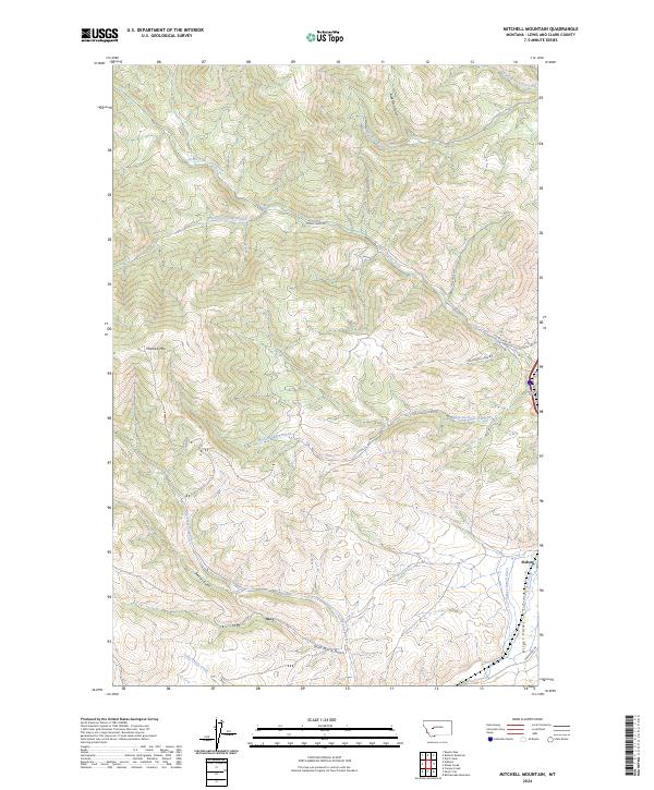
2024 Map of Mitchell Mountain
USGS Topo · Published 2024About this map
Mitchell Mtn rises above a landscape defined by an intricate network of drainage gulches and high-country creeks in this Lewis and Clark County region. The topography is dominated by the watersheds of Lyons Creek and its north and south forks, which converge near Lyons Creek Rd. To the southeast, the terrain transitions into the more open Hilger Valley, where the settlement of Sieben sits along Little Prickly Pear Creek.
Find a feature on this map
27 named features on this map. Tap any name to fly to it.
Don’t see what you’re looking for? This feature index may not catch every label — zoom into the map to look around manually.
Map Details
Editions of this 2024 Mitchell Mountain Map
This is the sole edition of this map. No revisions or reprints were ever made.
Other maps of this area

1889 · Helena
USGS Topo · 1:250,000

1893 · Helena
USGS Topo · 1:250,000

1899 · Helena
USGS Topo · 1:250,000

1903 · Helena
USGS Topo · 1:250,000

1943 · Hogan
USGS Topo · 1:125,000

1947 · Butte
USGS Topo · 1:250,000

1955 · Choteau
USGS Topo · 1:250,000

1957 · Choteau
USGS Topo · 1:250,000

1958 · Butte
USGS Topo · 1:250,000

1958 · Choteau
USGS Topo · 1:250,000