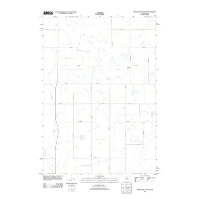
2012 Map of Mittelstedt Slough
USGS Topo · Published 2012About this map
Mittelstedt Slough and the surrounding prairie of Buffalo County are defined by a network of shallow basins and ephemeral water bodies characteristic of the Missouri Plateau. This landscape is marked by a rigid grid of rural section roads, including 364th Ave and 221st St, which facilitate the agricultural life of Eden Township. A primary cultural landmark in this open terrain is the Ebenezer Baptist Cem, located near the junction of several section lines, serving as a vital touchstone for local genealogy. To the south, Voneye Slough and the winding course of Crow Cr reflect the natural drainage patterns of the region. The map illustrates a contemporary rural environment where historical property boundaries and cemeteries remain the primary indicators of early settlement patterns in this part of South Dakota.
Find a feature on this map
17 named features on this map. Tap any name to fly to it.
Don’t see what you’re looking for? This feature index may not catch every label — zoom into the map to look around manually.
Map Details
Editions of this 2012 Mittelstedt Slough Map
This is the sole edition of this map. No revisions or reprints were ever made.
Other maps of this area

1949 · Vayland SE
USGS Topo · 1:24,000

1949 · Vayland SW
USGS Topo · 1:24,000

1951 · Vayland SW
USGS Topo · 1:24,000

1951 · Vayland SE
USGS Topo · 1:24,000

1953 · Huron
USGS Topo · 1:250,000

1954 · Huron
USGS Topo · 1:250,000

1973 · Big Bend Dam 4 SE
USGS Topo · 1:24,000

1973 · Ames
USGS Topo · 1:24,000

1973 · Gannvalley
USGS Topo · 1:24,000

1973 · Big Bend Dam 4 NE
USGS Topo · 1:24,000