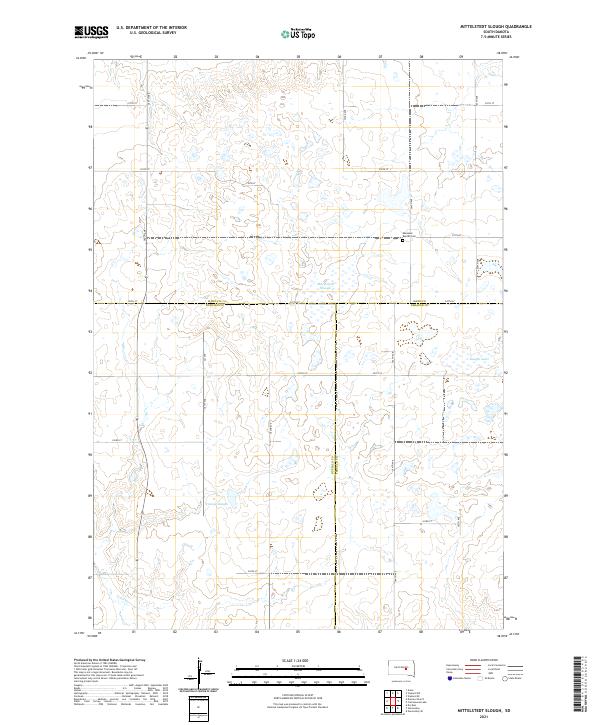
2021 Map of Mittelstedt Slough
USGS Topo · Published 2021About this map
Ebenezer Baptist Cem stands as a primary landmark in this prairie landscape, situated near the intersection of 219th ST and 364th Ave. This section of the South Dakota plains is defined by a complex network of wetlands and seasonal water bodies typical of the glaciated pothole region. Large basins like Mittelstedt Slough and Voneye Slough dominate the terrain, reflecting the drainage patterns that have shaped local land use and boundary lines.
Find a feature on this map
27 named features on this map. Tap any name to fly to it.
Don’t see what you’re looking for? This feature index may not catch every label — zoom into the map to look around manually.
Map Details
Editions of this 2021 Mittelstedt Slough Map
This is the sole edition of this map. No revisions or reprints were ever made.
Other maps of this area

1949 · Vayland SE
USGS Topo · 1:24,000

1949 · Vayland SW
USGS Topo · 1:24,000

1951 · Vayland SW
USGS Topo · 1:24,000

1951 · Vayland SE
USGS Topo · 1:24,000

1953 · Huron
USGS Topo · 1:250,000

1954 · Huron
USGS Topo · 1:250,000

1973 · Big Bend Dam 4 SE
USGS Topo · 1:24,000

1973 · Ames
USGS Topo · 1:24,000

1973 · Gannvalley
USGS Topo · 1:24,000

1973 · Big Bend Dam 4 NE
USGS Topo · 1:24,000