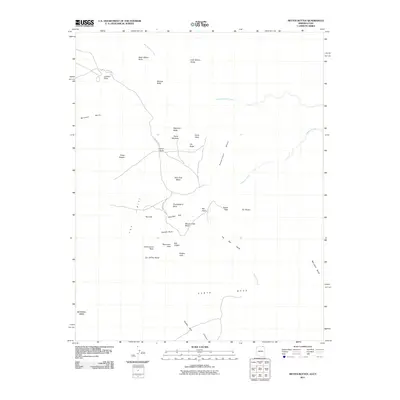
2011 Map of Mitten Buttes
USGS Topo · Published 2011About this map
West Mitten Butte and East Mitten Butte anchor this high-desert landscape, serving as iconic sentinels over a terrain defined by massive sandstone formations and expansive mesas. The geological diversity of the region is evident in the cluster of landmarks near North Window and Artist Point, where erosion has carved distinctive shapes like Elephant Butte and the Three Sisters. To the south, the scale of the landscape is further emphasized by the broad reach of Hunts Mesa and Mitchell Mesa.
Find a feature on this map
35 named features on this map. Tap any name to fly to it.
Don’t see what you’re looking for? This feature index may not catch every label — zoom into the map to look around manually.
Map Details
Editions of this 2011 Mitten Buttes Map
2 editions found
Other maps of this area

1883 · Marsh Pass
USGS Topo · 1:250,000

1886 · Henry Mountains
USGS Topo · 1:250,000

1886 · Abajo
USGS Topo · 1:250,000

1892 · Marsh Pass
USGS Topo · 1:250,000

1892 · Abajo
USGS Topo · 1:250,000

1892 · Henry Mountains
USGS Topo · 1:250,000

1892 · Canyon De Chelly
USGS Topo · 1:250,000

1893 · Abajo
USGS Topo · 1:250,000

1952 · Clay Hills 4 SW
USGS Topo · 1:24,000

1952 · Agathla Peak 1 NW
USGS Topo · 1:24,000