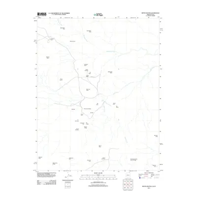
2011 Map of Mitten Buttes
USGS Topo · Published 2011About this map
West Mitten Butte and East Mitten Butte stand as the most recognizable landmarks in this high-desert landscape near the Arizona-Utah border. The 2011 survey reveals an intricate network of sandstone formations, including massive elevations like Merrick Butte, Mitchell Mesa, and Thunderbird Mesa. This area is characterized by a high concentration of named geological arches and natural bridges, such as Spiderweb Arch, Moccasin Arch, and the notable Swinnerton Bridge. Drainage is primarily defined by the ephemeral West Gypsum Creek and Gypsum Creek, which weave through the canyons and past features like the Totem Pole and Big Hogan. Navigational access is limited to a few specific routes, including Indian Rte 42, highlighting the isolation of these natural features. Local history and Navajo cultural presence are reflected in labels like Tse Biyi, Yei Bichei, and Ear of the Wind, which provide specific geographic context for this famous corner of the Navajo Nation.
Find a feature on this map
37 named features on this map. Tap any name to fly to it.
Don’t see what you’re looking for? This feature index may not catch every label — zoom into the map to look around manually.
Map Details
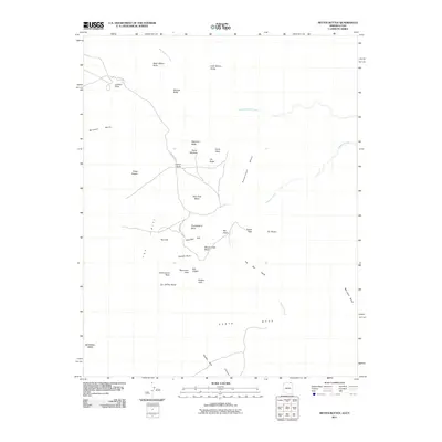
Editions of this 2011 Mitten Buttes Map
2 editions found
Other maps of this area

1883 · Marsh Pass
USGS Topo · 1:250,000

1886 · Henry Mountains
USGS Topo · 1:250,000

1886 · Abajo
USGS Topo · 1:250,000

1892 · Marsh Pass
USGS Topo · 1:250,000

1892 · Abajo
USGS Topo · 1:250,000

1892 · Henry Mountains
USGS Topo · 1:250,000

1892 · Canyon De Chelly
USGS Topo · 1:250,000

1893 · Abajo
USGS Topo · 1:250,000

1952 · Clay Hills 4 SW
USGS Topo · 1:24,000

1952 · Agathla Peak 1 NW
USGS Topo · 1:24,000