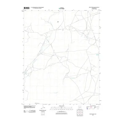
2010 Map of Mitten Rock
USGS Topo · Published 2010About this map
Mitten Rock rises as a central landmark in this high-desert region of the Navajo Nation during the early 21st century. The landscape is defined by its drainage systems, including the serpentine paths of Little Shiprock Wash and Dead Mans Wash, which cut through the arid terrain toward the northeast. To the south, the massive presence of Beautiful Mountain anchors the corner of the survey. The transport network relies on a series of specialized routes, notably the Red Rock Hwy and several Bureau of Indian Affairs corridors such as Indian Service Route 5020 and Indian Service Route 5012. This map reflects a moment of modern infrastructure in a sparsely populated setting, where water management is critical, evidenced by the presence of Big Gap Reservoir near the eastern boundary.
Find a feature on this map
14 named features on this map. Tap any name to fly to it.
Don’t see what you’re looking for? This feature index may not catch every label — zoom into the map to look around manually.
Map Details
Editions of this 2010 Mitten Rock Map
This is the sole edition of this map. No revisions or reprints were ever made.
Other maps of this area

1889 · Chaco
USGS Topo · 1:250,000

1892 · Chaco
USGS Topo · 1:250,000

1892 · Canyon De Chelly
USGS Topo · 1:250,000

1934 · Ship Rock
USGS Topo · 1:62,500

1937 · Ship Rock
USGS Topo · 1:62,500

1953 · Sanostee
USGS Topo · 1:62,500

1953 · Redrock Valley NE
USGS Topo · 1:24,000

1953 · Redrock Valley SE
USGS Topo · 1:24,000

1953 · Redrock Valley
USGS Topo · 1:62,500

1954 · Shiprock
USGS Topo · 1:250,000