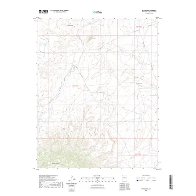
2023 Map of Mitten Rock
USGS Topo · Published 2023About this map
Mitten Rock stands as the primary landmark in this high-elevation corner of the Navajo Nation, where the high desert meets the northern slopes of the Chuska Mountains. The landscape is defined by the massive rising profiles of Beautiful Mountain and the prominent Rock Ridge, punctuated by seasonal water sources like 12R 59 Spring and the Big Gap Reservoir. Drainage patterns are dictated by prominent desert arroyos, including Salt Wash, Little Shiprock Wash, and Dead Mans Wash, which cut through the complex topography.
Find a feature on this map
22 named features on this map. Tap any name to fly to it.
Don’t see what you’re looking for? This feature index may not catch every label — zoom into the map to look around manually.
Map Details
Editions of this 2023 Mitten Rock Map
This is the sole edition of this map. No revisions or reprints were ever made.
Other maps of this area

1889 · Chaco
USGS Topo · 1:250,000

1892 · Chaco
USGS Topo · 1:250,000

1892 · Canyon De Chelly
USGS Topo · 1:250,000

1934 · Ship Rock
USGS Topo · 1:62,500

1937 · Ship Rock
USGS Topo · 1:62,500

1953 · Sanostee
USGS Topo · 1:62,500

1953 · Redrock Valley NE
USGS Topo · 1:24,000

1953 · Redrock Valley SE
USGS Topo · 1:24,000

1953 · Redrock Valley
USGS Topo · 1:62,500

1954 · Shiprock
USGS Topo · 1:250,000