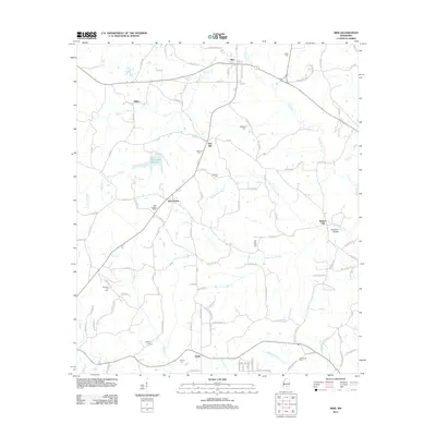
2012 Map of Mize
USGS Topo · Published 2012About this map
Mize serves as the central hub for this portion of Smith County, where traditional town planning meets the rural creek valleys of southern Mississippi. The landscape is defined by the significant drainage of Oatohay Cr and Sullivans Hollow Cr, which carve through the terrain near the legendary Sullivans Hollow. This area is particularly rich in family and community history, evidenced by the high density of small burial grounds such as Old Zion Hill Cem, Jones Cem, and Berkhalter Cem.
Find a feature on this map
107 named features on this map. Tap any name to fly to it.
Don’t see what you’re looking for? This feature index may not catch every label — zoom into the map to look around manually.
Map Details
Editions of this 2012 Mize Map
This is the sole edition of this map. No revisions or reprints were ever made.
Other maps of this area

1953 · Hattiesburg
USGS Topo · 1:250,000

1958 · Hattiesburg
USGS Topo · 1:250,000

1965 · Hot Coffee
USGS Topo · 1:24,000

1974 · Lone Star
USGS Topo · 1:24,000

1974 · Collins
USGS Topo · 1:24,000
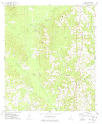
1975 · Cohay
USGS Topo · 1:24,000

1975 · Taylorsville
USGS Topo · 1:24,000

1975 · Mize
USGS Topo · 1:24,000
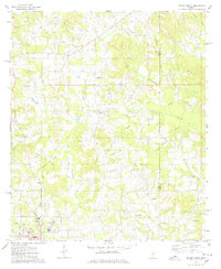
1975 · Magee North
USGS Topo · 1:24,000
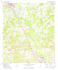
1975 · Magee South
USGS Topo · 1:24,000