
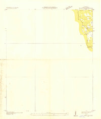
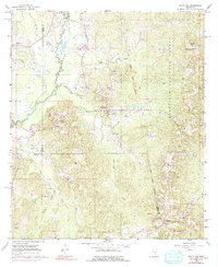
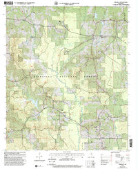
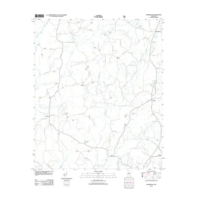
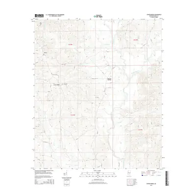
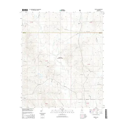
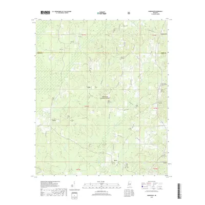
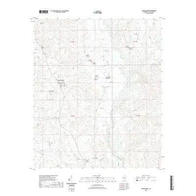
1975 Map of Cohay
USGS Topo · Published 1978About this map
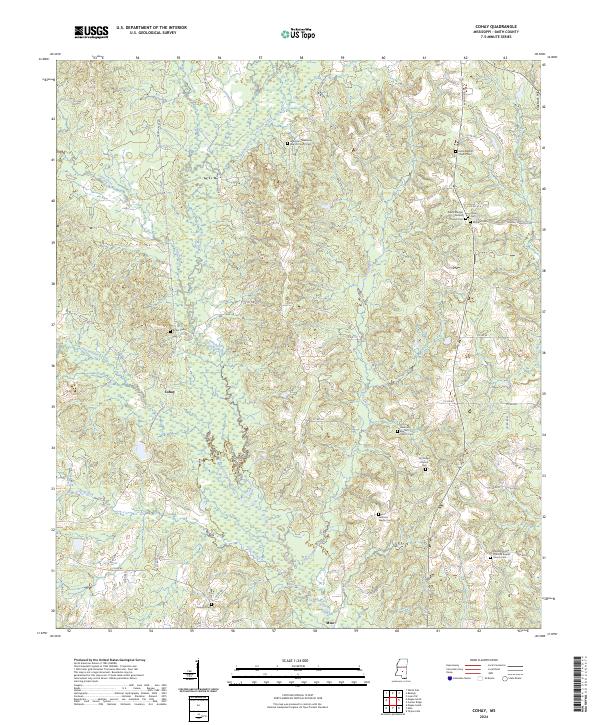
The Raleigh Oil Field defines much of the industrial landscape in this portion of Smith County, characterized by a network of pipelines and pumping stations amidst the drainage basins of Oakohay Creek and Hatchapaloo Creek. The area shows a transition from heavy infrastructure to more rural, community-centered nodes. Small country churches such as Wilkinson Memorial Ch, Dry Ridge Ch, and Fairmount Ch are scattered throughout the terrain, often serving as the primary landmarks for local families and genealogists tracing residents of the Cohay settlement. An old Railroad Grade following the Cole Branch suggests the path of former timber or transport routes that once served the local economy. Further evidence of rural utility and land use is visible at the Smith Lookout Tower and various gravel pits, illustrating the intersection of natural resource extraction and forest management in the mid-1970s.
Find a feature on this map
30 named features on this map. Tap any name to fly to it.
Don’t see what you’re looking for? This feature index may not catch every label — zoom into the map to look around manually.
Map Details
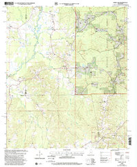
Editions of this 1975 Cohay Map
This is the sole edition of this map. No revisions or reprints were ever made.
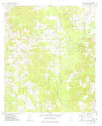
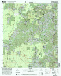
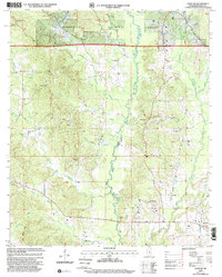
Historical Maps of Raleigh Through Time
41 maps found
1935 White Oak
Smith County, MS
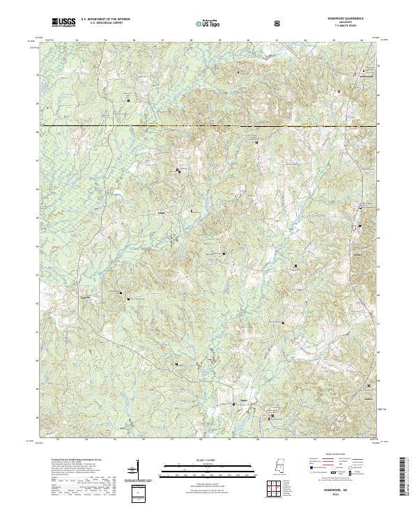
1968 Homewood
Smith County, MS
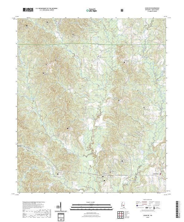
1968 Louin SW
Smith County, MS
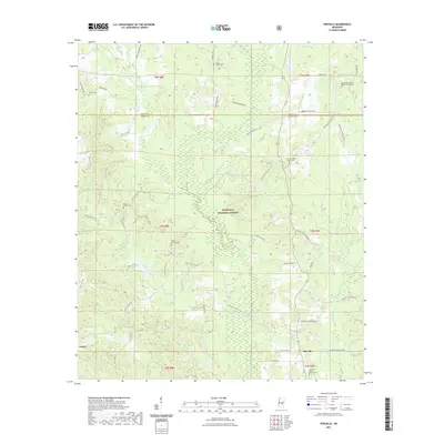
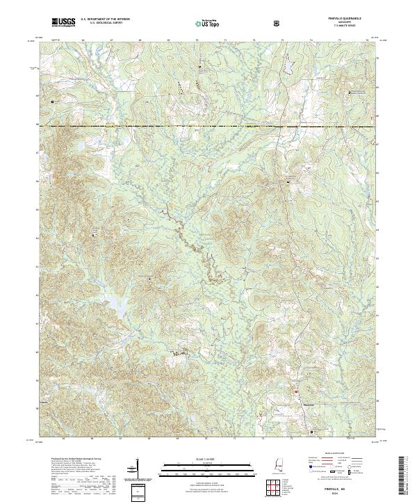
1968 Pineville
Smith County, MS
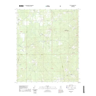
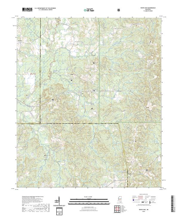
1968 White Oak
Smith County, MS
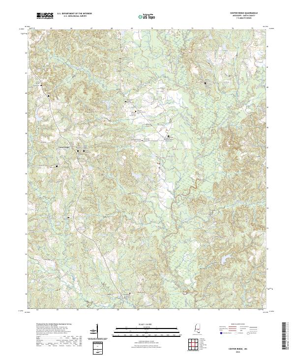
1975 Center Ridge
Smith County, MS
1975 Cohay
Smith County, MS
2000 Homewood
Smith County, MS
2000 Louin SW
Smith County, MS
2000 Pineville
Smith County, MS
2000 White Oak
Smith County, MS
2012 Center Ridge
Smith County, MS
2012 Cohay
Smith County, MS
2012 Homewood
Smith County, MS
2012 Louin SW
Smith County, MS
2012 Pineville
Smith County, MS
2012 White Oak
Smith County, MS
2015 Center Ridge
Smith County, MS
2015 Cohay
Smith County, MS
2015 Homewood
Smith County, MS
2015 Louin SW
Smith County, MS
2015 Pineville
Smith County, MS
2015 White Oak
Smith County, MS
2018 Center Ridge
Smith County, MS
2018 Cohay
Smith County, MS
2018 Homewood
Smith County, MS
2018 Louin SW
Smith County, MS
2018 Pineville
Smith County, MS
2018 White Oak
Smith County, MS
2020 Center Ridge
Smith County, MS
2020 Cohay
Smith County, MS
2021 Homewood
Smith County, MS
2021 Louin SW
Smith County, MS
2021 Pineville
Smith County, MS
2021 White Oak
Smith County, MS
2024 Center Ridge
Smith County, MS
2024 Cohay
Smith County, MS
2024 Homewood
Smith County, MS
2024 Louin SW
Smith County, MS
2024 Pineville
Smith County, MS
2024 White Oak
Smith County, MS