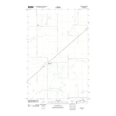
2010 Map of Mizpah
USGS Topo · Published 2010About this map
Mizpah and the smaller settlement of Forest Grove anchor this 2010 topographic record of Northome and the surrounding Koochiching County landscape. The area is characterized by a structured grid of forest roads, including County Hwy-17 and County Hwy-58, which cut through the drainage basins of Caldwell Brook. A significant diagonal landmark is the Blue Ox Trl, a recreational trail following an old railroad corridor that historically linked these remote timber communities. Local genealogy and history are anchored at the Mizpah Cemetery and the Mizpah Post Office, while the northern portion of the quadrangle shows the water management of Girl Lake Dam. The map reflects a modern era where traditional northern Minnesota infrastructure like the Itasca St corridor meets contemporary land management and transportation needs.
Find a feature on this map
26 named features on this map. Tap any name to fly to it.
Don’t see what you’re looking for? This feature index may not catch every label — zoom into the map to look around manually.
Map Details
Editions of this 2010 Mizpah Map
This is the sole edition of this map. No revisions or reprints were ever made.
Other maps of this area

1919 · Lundgren
USGS Topo · 1:62,500

1919 · Gemmell
USGS Topo · 1:62,500

1919 · Norden
USGS Topo · 1:62,500

1919 · Bridgie
USGS Topo · 1:62,500

1924 · Bridgie
USGS Topo · 1:62,500

1954 · Bemidji
USGS Topo · 1:250,000

1954 · Roseau
USGS Topo · 1:250,000

1957 · Roseau
USGS Topo · 1:250,000

1957 · Bemidji
USGS Topo · 1:250,000

1958 · Bemidji
USGS Topo · 1:250,000