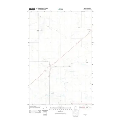
2013 Map of Mizpah
USGS Topo · Published 2013About this map
Mizpah stands as a central settlement in this northern Minnesota landscape, situated at the junction of Us-71 and Co HWY-6. The map documents a quiet, rural community structure defined by its local institutions and scattered farmsteads, including the village of Gemmell to the northeast and Forest Grove to the northwest. Genealogists can identify key burial sites such as the Mizpah Cem and Forest Grove Cem, which serve as significant historical anchors for the area's families. The terrain is characterized by the winding path of Caldwell Brook as it meanders through the southern and eastern portions of the quadrangle. North of the main settlements, Girl Lake and a network of designated town roads, like Town Road 38, illustrate the established grid of this timber and agricultural region.
Find a feature on this map
24 named features on this map. Tap any name to fly to it.
Don’t see what you’re looking for? This feature index may not catch every label — zoom into the map to look around manually.
Map Details
Editions of this 2013 Mizpah Map
This is the sole edition of this map. No revisions or reprints were ever made.
Other maps of this area

1919 · Lundgren
USGS Topo · 1:62,500

1919 · Gemmell
USGS Topo · 1:62,500

1919 · Norden
USGS Topo · 1:62,500

1919 · Bridgie
USGS Topo · 1:62,500

1924 · Bridgie
USGS Topo · 1:62,500

1954 · Bemidji
USGS Topo · 1:250,000

1954 · Roseau
USGS Topo · 1:250,000

1957 · Roseau
USGS Topo · 1:250,000

1957 · Bemidji
USGS Topo · 1:250,000

1958 · Bemidji
USGS Topo · 1:250,000