2022 Map of Mizpah
USGS Topo · Published 2022About this map
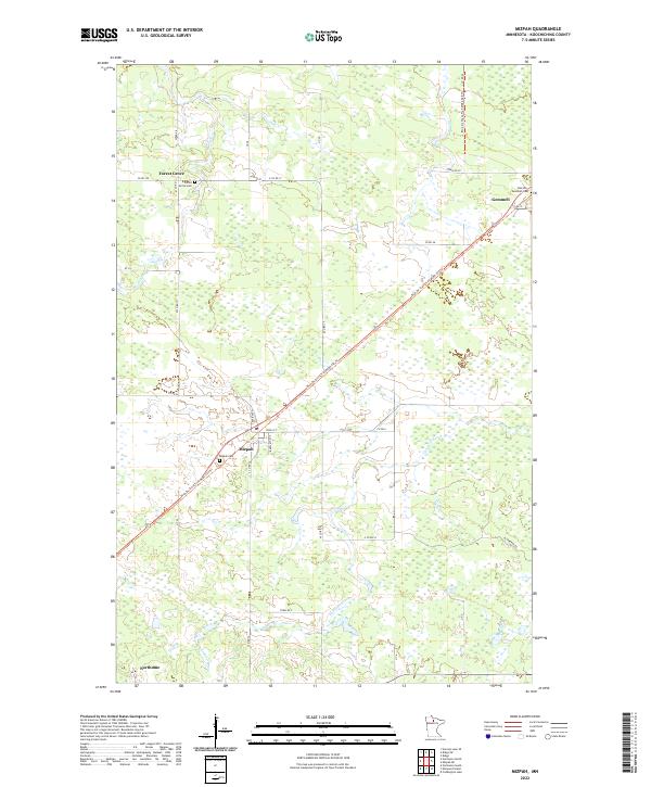
Mizpah and Gemmell anchor this northern Minnesota landscape, characterized by the low-lying wetlands and drainage patterns of the Caldwell Brook watershed. Located in Koochiching County, the area is defined by its small, scattered settlements and the significant transit corridor of the Blue Ox State Trail, which cuts diagonally across the terrain following an old rail grade. Local genealogy and history are preserved at several rural burial grounds, including the Mizpah Cemetery and the Oak Hill Gemmell Cemetery situated just north of Gemmell. To the west, the settlement of Forest Grove and its namesake Forest Grove Cemetery sit near the junction of several county and utility roads. The map captures a moment in the early 21st century when these remote communities remain connected through a network of rural routes like W County Road 17 and Blueberry Road.
Find a feature on this map
37 named features on this map. Tap any name to fly to it.
Don’t see what you’re looking for? This feature index may not catch every label — zoom into the map to look around manually.
Map Details
Editions of this 2022 Mizpah Map
This is the sole edition of this map. No revisions or reprints were ever made.