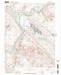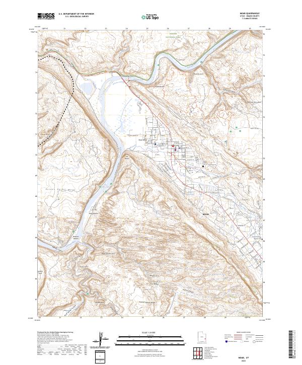
2023 Map of Moab
USGS Topo · Published 2023About this map
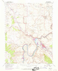
The Colorado River carves a deep path through this landscape, defining the northern and western margins of Moab and the southern edge of Arches National Park. The town site occupies the relatively level Moab Valley, where the confluence of Mill Creek and Pack Creek supports the primary settlement area. Local government and community infrastructure are well-documented, from the centrally located Grand County Court House to the Grand Valley Cem near the intersection of Sand Flats Rd.
Find a feature on this map
89 named features on this map. Tap any name to fly to it.
Don’t see what you’re looking for? This feature index may not catch every label — zoom into the map to look around manually.
Map Details
Editions of this 2023 Moab Map
This is the sole edition of this map. No revisions or reprints were ever made.
Historical Maps of Moab Through Time
10 maps found