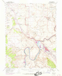
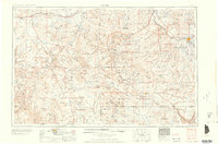
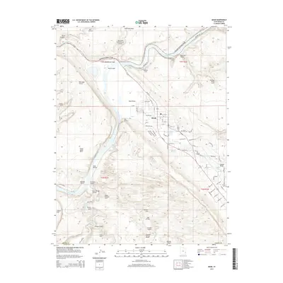
1959 Map of Moab
USGS Topo · Published 1969About this map
Moab and its surrounding canyonlands appear here during a transformative era of industrial development and early tourism. The town center shows significant expansion near the Colorado River, supported by the arrival of the Denver and Rio Grande Western railroad. Industrial features like the Ore Reduction Plant and nearby Shinarump Mines illustrate the mid-century mineral boom, while the southern branch of the rail line terminates at Potash.
Find a feature on this map
112 named features on this map. Tap any name to fly to it.
Don’t see what you’re looking for? This feature index may not catch every label — zoom into the map to look around manually.
Map Details
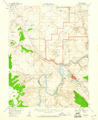
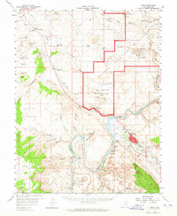
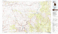
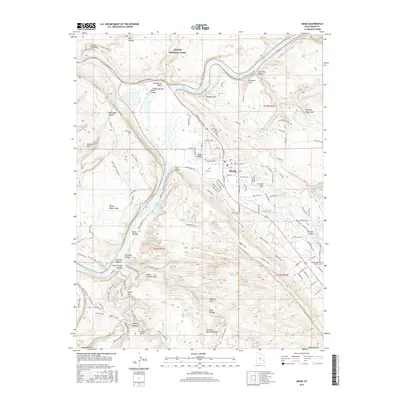
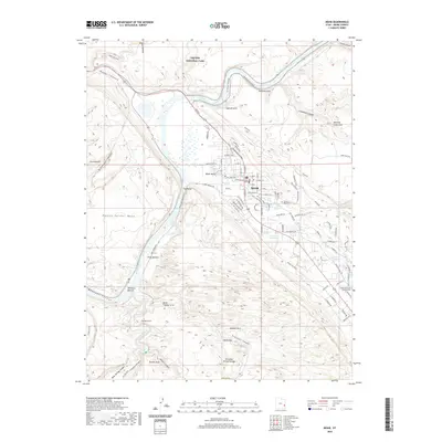
Editions of this 1959 Moab Map
3 editions found
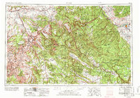
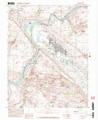
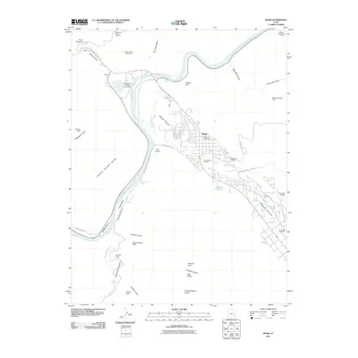
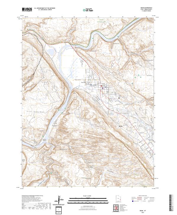
Historical Maps of Moab Through Time
14 maps found
1956 Moab
Grand County, UT

1959 Moab
Grand County, UT
1959 Moab
Grand County, UT
1960 Moab
Grand County, UT

1962 Moab
Grand County, UT

1964 Moab
Grand County, UT

1965 Moab
Grand County, UT
1983 Moab
Grand County, UT
1985 Moab
Grand County, UT
2011 Moab
Grand County, UT
2014 Moab
Grand County, UT
2017 Moab
Grand County, UT
2020 Moab
Grand County, UT
2023 Moab
Grand County, UT