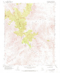
1969 Map of Moapa Peak NW
USGS Topo · Published 1973About this map
Mormon Peak towers over this desert landscape in the late 1960s, anchoring the high ridges of the Mormon Mountains. This terrain is marked by a network of primitive transportation routes, where Jeep Trails wind through the canyons and washes to reach isolated water sources and mineral claims. The scarcity of water is evident in the reliance on Horse Spring, Wiregrass Spring, and Hackberry Spring, which likely served as critical stops for prospectors and travelers throughout the region's history.
Find a feature on this map
11 named features on this map. Tap any name to fly to it.
Don’t see what you’re looking for? This feature index may not catch every label — zoom into the map to look around manually.
Map Details
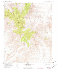
Editions of this 1969 Moapa Peak NW Map
2 editions found
Other maps of this area

1885 · Pioche
USGS Topo · 1:250,000

1886 · Saint Thomas
USGS Topo · 1:250,000

1886 · Pioche
USGS Topo · 1:250,000

1893 · Saint Thomas
USGS Topo · 1:250,000

1954 · Caliente
USGS Topo · 1:250,000

1954 · Las Vegas
USGS Topo · 1:250,000

1957 · Las Vegas
USGS Topo · 1:250,000

1959 · Caliente
USGS Topo · 1:250,000

1959 · Las Vegas
USGS Topo · 1:250,000

1962 · Las Vegas
USGS Topo · 1:250,000