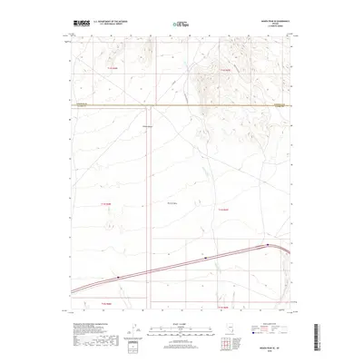
2018 Map of Moapa Peak SE
USGS Topo · Published 2018About this map
Mormon Mesa dominates this arid landscape at the northern edge of the Mojave Desert. The terrain is defined by the significant drainage of Halfway Wash, which cuts south through the desert floor. Remote access is facilitated by a small network of unpaved desert tracks, including Halfway Wash Rd and S Fork Rd. Located near the border of Lincoln and Clark counties, this area illustrates the vast, undeveloped expanses of southern Nevada. The geography is primarily focused on the topographic transition between the high mesa and the wash below, reflecting a classic desert basin and range character where infrastructure is limited to critical transit corridors like the Toquop Access Rd.
Find a feature on this map
13 named features on this map. Tap any name to fly to it.
Don’t see what you’re looking for? This feature index may not catch every label — zoom into the map to look around manually.
Map Details
Editions of this 2018 Moapa Peak SE Map
This is the sole edition of this map. No revisions or reprints were ever made.
Other maps of this area

1886 · Saint Thomas
USGS Topo · 1:250,000

1893 · Saint Thomas
USGS Topo · 1:250,000

1954 · Las Vegas
USGS Topo · 1:250,000

1957 · Las Vegas
USGS Topo · 1:250,000

1957 · Mesquite
USGS Topo · 1:62,500

1958 · Virgin Peak
USGS Topo · 1:62,500

1958 · Overton
USGS Topo · 1:62,500

1959 · Las Vegas
USGS Topo · 1:250,000

1962 · Las Vegas
USGS Topo · 1:250,000
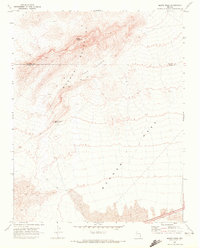
1969 · Moapa Peak
USGS Topo · 1:24,000