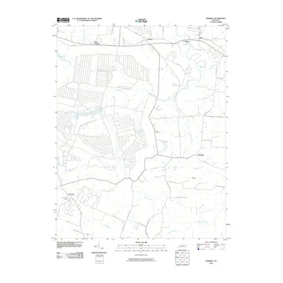
2010 Map of Moberly
USGS Topo · Published 2010About this map
Muddy Creek and its many tributaries, including Viny Fork and Hickory Lick, define the drainage patterns of this central Kentucky landscape in the early 21st century. The map reveals a transition between established agricultural land and rural residential development, with small crossroads communities like Moberly and Brassfield serving as local hubs. In the western portion, the development around Lake Reba contrasts with the surrounding topography of branches and creeks.
Find a feature on this map
47 named features on this map. Tap any name to fly to it.
Don’t see what you’re looking for? This feature index may not catch every label — zoom into the map to look around manually.
Map Details
Editions of this 2010 Moberly Map
This is the sole edition of this map. No revisions or reprints were ever made.
Other maps of this area

1892 · Richmond
USGS Topo · 1:125,000

1897 · Richmond
USGS Topo · 1:125,000

1952 · Alcorn
USGS Topo · 1:24,000

1952 · Berea
USGS Topo · 1:24,000

1952 · Union City
USGS Topo · 1:24,000

1952 · Palmer
USGS Topo · 1:24,000

1952 · Richmond North
USGS Topo · 1:24,000

1952 · Bighill
USGS Topo · 1:24,000

1952 · Panola
USGS Topo · 1:24,000

1952 · Moberly
USGS Topo · 1:24,000