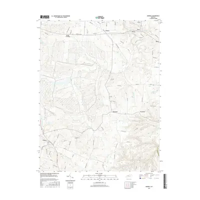
2016 Map of Moberly
USGS Topo · Published 2016About this map
Muddy Creek and its various tributaries, including Viny Fork and Hickory Lick, define the drainage patterns of this Madison County landscape. This 2016 survey documents the rural character of the region, where established settlements like Speedwell, Brassfield, and Bybee are linked by a network of local roads such as Moberly Rd and Brassfield Rd. For those tracing family histories, the map records several small burial sites, including Flatwoods Cem near Waco and Jones Cem located south of Oldham Br. The topography shows a transition from the more developed area around Lake Reba and Reeds Crossing in the northwest toward the more dissected, stream-cut terrain of the southeast where Drowning Cr and Hays Fork flow through the hills near Kingston.
Find a feature on this map
79 named features on this map. Tap any name to fly to it.
Don’t see what you’re looking for? This feature index may not catch every label — zoom into the map to look around manually.
Map Details
Editions of this 2016 Moberly Map
This is the sole edition of this map. No revisions or reprints were ever made.
Other maps of this area

1892 · Richmond
USGS Topo · 1:125,000

1897 · Richmond
USGS Topo · 1:125,000

1952 · Alcorn
USGS Topo · 1:24,000

1952 · Berea
USGS Topo · 1:24,000

1952 · Union City
USGS Topo · 1:24,000

1952 · Palmer
USGS Topo · 1:24,000

1952 · Richmond North
USGS Topo · 1:24,000

1952 · Bighill
USGS Topo · 1:24,000

1952 · Panola
USGS Topo · 1:24,000

1952 · Moberly
USGS Topo · 1:24,000