1940 Map of Mobile
USGS Topo · Published 1968About this map
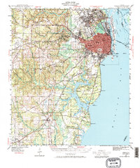
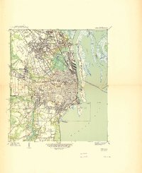
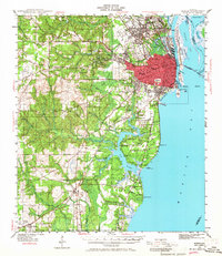
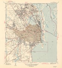
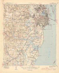
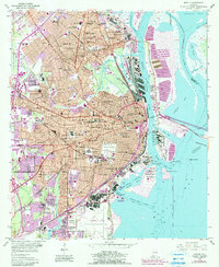
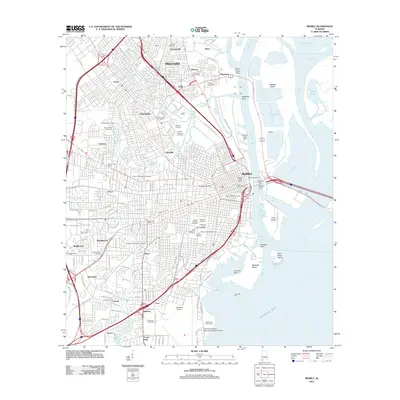
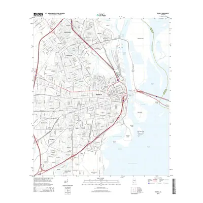
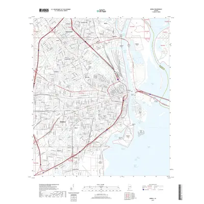
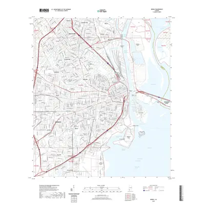
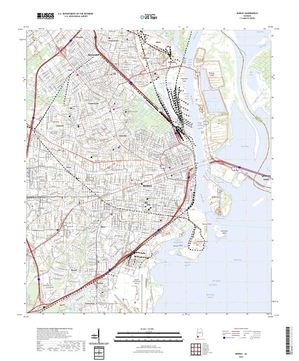
Mobile's industrial and residential expansion is clearly visible in this survey, showcasing the city's complex relationship with its waterfront. The dense urban grid, highlighted in red, centers on landmarks like the sprawling Magnolia Cemetery and prominent educational institutions including Murphy High Sch and Spring Hill College. To the east, the map reveals the critical maritime infrastructure of the Mobile River and Mobile Bay, featuring Blakeley Island, Pinto Island, and the U S Quarantine Sta positioned strategically near Choctaw Pt.
Find a feature on this map
100 named features on this map. Tap any name to fly to it.
Don’t see what you’re looking for? This feature index may not catch every label — zoom into the map to look around manually.
Map Details
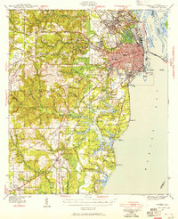
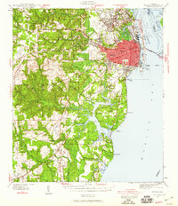
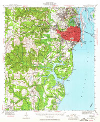
Editions of this 1940 Mobile Map
5 editions found
Historical Maps of Mobile Through Time
19 maps found

1922 Mobile
Mobile County, AL
1940 Mobile
Mobile County, AL
1940 Mobile
Mobile County, AL
1943 Mobile
Mobile County, AL
1944 Mobile
Mobile County, AL
1953 Mobile
Mobile County, AL
1953 Mobile
Mobile County, AL

1957 Mobile
Mobile County, AL

1960 Mobile
Mobile County, AL

1963 Mobile
Mobile County, AL

1965 Mobile
Mobile County, AL
1984 Mobile
Mobile County, AL

1984 Mobile
Mobile County, AL
1994 Mobile
Mobile County, AL
2011 Mobile
Mobile County, AL
2014 Mobile
Mobile County, AL
2018 Mobile
Mobile County, AL
2020 Mobile
Mobile County, AL
2024 Mobile
Mobile County, AL