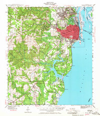
1940 Map of Mobile
USGS Topo · Published 1968About this map
The Port of Mobile sits at the confluence of the Mobile River and Mobile Bay, serving as a critical Gulf Coast hub just before the mid-century industrial expansion. The map details a landscape defined by its waterways, from the marshy Pinto Island and Hollingers Island to the intricate network of the Dog River and Chickasaw Creek. Significant local institutions like Spring Hill College and the Visitation Convent & Academy appear alongside the urban core, which is anchored by Magnolia Cemetery and the historic Murphy High Sch.
Find a feature on this map
110 named features on this map. Tap any name to fly to it.
Don’t see what you’re looking for? This feature index may not catch every label — zoom into the map to look around manually.
Map Details
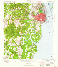
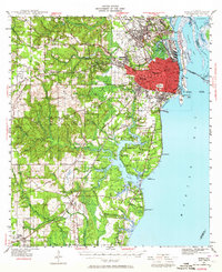
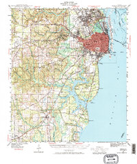
Editions of this 1940 Mobile Map
5 editions found
Other maps of this area

1921 · Grand Bay
USGS Topo · 1:62,500

1921 · Point Clear
USGS Topo · 1:62,500

1921 · Fairhope
USGS Topo · 1:62,500

1921 · Delchamps
USGS Topo · 1:62,500

1922 · Mobile
USGS Topo · 1:62,500

1939 · Daphne
USGS Topo · 1:31,680

1940 · Hollingers Island
USGS Topo · 1:31,680

1940 · Mobile
USGS Topo · 1:31,680

1940 · Mobile
USGS Topo · 1:62,500

1941 · Chickasaw
USGS Topo · 1:31,680