
1940 Map of Mobile
USGS Topo · Published 1940About this map
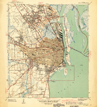
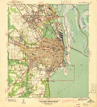
Mobile's industrial waterfront and educational core are captured in detail just before the mid-century expansion. The map illustrates a city defined by its relationship with the water, where the Mobile River and Mobile Bay meet a complex network of rail lines and state docks. Prominent institutional landmarks such as Visitation Convent, Providence Hospital, and Murphy High School anchor the residential neighborhoods, while the extensive grid of Magnolia Cemetery stands as a significant historical record of the city's genealogy. To the north and west, the map details established satellite communities like Prichard and Whistler, as well as the transition into tidal marshlands along the Chickasaw Creek. The eastern riverfront is dominated by Blakeley Island and Pinto Island, highlighting the strategic maritime position that shaped the region's economy and defense, marked by coastal installations like the Quarantine Sta and Battery Gladden.
Find a feature on this map
69 named features on this map. Tap any name to fly to it.
Don’t see what you’re looking for? This feature index may not catch every label — zoom into the map to look around manually.
Map Details
Editions of this 1940 Mobile Map
3 editions found
Other maps of this area

1921 · Fairhope
USGS Topo · 1:62,500

1922 · Mobile
USGS Topo · 1:62,500

1939 · Daphne
USGS Topo · 1:31,680

1940 · Hollingers Island
USGS Topo · 1:31,680

1940 · Mobile
USGS Topo · 1:62,500

1941 · Chickasaw
USGS Topo · 1:31,680

1941 · Daphne
USGS Topo · 1:31,680

1941 · Blakeley
USGS Topo · 1:31,680

1941 · Bay Minette
USGS Topo · 1:62,500

1941 · Creola
USGS Topo · 1:62,500