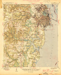
1944 Map of Mobile
USGS Topo · Published 1944About this map
Mobile serves as the focal point for this mid-century coastal survey, illustrating the city's complex industrial and transit network just as wartime production peaked. The urban core is tightly gridded, bounded by the Mobile River and the bustling waterfronts of Blakeley Island and Pinto Island. Infrastructure such as the Bankhead Tunnel and Cochrane Bridge show the vital road links across the delta, while the Gulf Mobile and Ohio RR and Louisville & Nashville RR dominate the logistics of the port.
Find a feature on this map
108 named features on this map. Tap any name to fly to it.
Don’t see what you’re looking for? This feature index may not catch every label — zoom into the map to look around manually.
Map Details
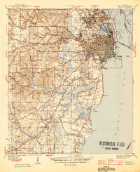
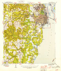
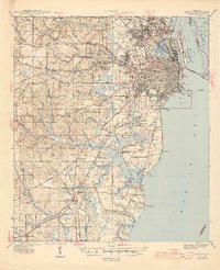
Editions of this 1944 Mobile Map
4 editions found
Other maps of this area

1921 · Grand Bay
USGS Topo · 1:62,500

1921 · Point Clear
USGS Topo · 1:62,500

1921 · Fairhope
USGS Topo · 1:62,500

1921 · Delchamps
USGS Topo · 1:62,500

1922 · Mobile
USGS Topo · 1:62,500

1939 · Daphne
USGS Topo · 1:31,680

1940 · Hollingers Island
USGS Topo · 1:31,680

1940 · Mobile
USGS Topo · 1:31,680

1940 · Mobile
USGS Topo · 1:62,500

1941 · Chickasaw
USGS Topo · 1:31,680