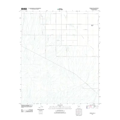
2011 Map of Mobile NW
USGS Topo · Published 2011About this map
Rainbow Valley serves as the primary focal point of this arid landscape in the Sonoran Desert. The drainage of Waterman Wash meanders northwest through the terrain, defining the natural flow of the area alongside man-made water catchments such as West Tank, Youngker Tank, and Don Tank. These small reservoirs reflect the necessity of water management in an environment shaped by seasonal washes and significant road developments.
Find a feature on this map
33 named features on this map. Tap any name to fly to it.
Don’t see what you’re looking for? This feature index may not catch every label — zoom into the map to look around manually.
Map Details
Editions of this 2011 Mobile NW Map
This is the sole edition of this map. No revisions or reprints were ever made.
Other maps of this area

1946 · Avondale
USGS Topo · 1:62,500

1948 · Cashion
USGS Topo · 1:62,500

1951 · Mobile
USGS Topo · 1:62,500

1951 · Cotton Center
USGS Topo · 1:62,500

1954 · Phoenix
USGS Topo · 1:250,000

1957 · Phoenix
USGS Topo · 1:250,000

1957 · Avondale SW
USGS Topo · 1:24,000
1957 · Avondale SE
USGS Topo · 1:24,000

1958 · Phoenix
USGS Topo · 1:250,000

1958 · Buckeye
USGS Topo · 1:24,000