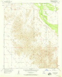
1957 Map of Avondale SE
USGS Topo · Published 1958About this map
The Sierra Estrella dominates this 1957 landscape, rising sharply above the desert floor southwest of Phoenix. The map documents a critical transition between the mountain range and the Rainbow Valley, defined by the Gila and Salt River Meridian which serves as the primary survey baseline for most of Arizona. Along the northeastern edge, the Gila River Indian Reservation Boundary separates the mountain slopes from the riparian corridor of the Gila River. Settlement is sparse, represented by the small locality of Corgett and scattered Mines that suggest early mineral exploration in the foothills. The presence of a Pipe Line, Ditch, and several Well sites highlights the constant effort to manage water in this arid environment, while a Jeep Trail provides the only access into the high ridges.
Find a feature on this map
12 named features on this map. Tap any name to fly to it.
Don’t see what you’re looking for? This feature index may not catch every label — zoom into the map to look around manually.
Map Details
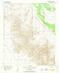
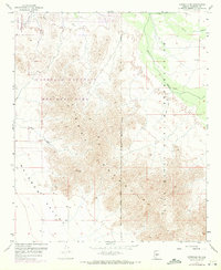
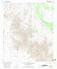
Editions of this 1957 Avondale SE Map
4 editions found
Other maps of this area

1912 · Phoenix
USGS Topo · 1:62,500

1913 · Maricopa
USGS Topo · 1:62,500

1914 · Phoenix
USGS Topo · 1:62,500

1915 · Maricopa
USGS Topo · 1:62,500

1946 · Avondale
USGS Topo · 1:62,500

1948 · Cashion
USGS Topo · 1:62,500

1951 · Mobile
USGS Topo · 1:62,500

1952 · Laveen
USGS Topo · 1:24,000

1952 · Montezuma Peak
USGS Topo · 1:24,000

1952 · Fowler
USGS Topo · 1:24,000