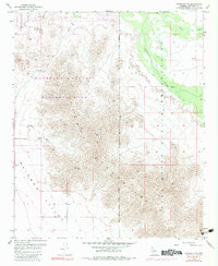
1957 Map of Avondale SE
USGS Topo · Published 1983About this map
The Sierra Estrella dominates this desert landscape, where steep ridgelines meet the wide expanse of the Rainbow Valley. To the northeast, the Phoenix International Raceway stands as a modern landmark near the edge of the Gila River Indian Reservation Boundary. The survey illustrates a terrain defined by drainage patterns like Corgett Wash and a network of Jeep Trails that suggest early recreational and industrial access. Local history interest is found in the scattered Mines tucked into the mountain foothills and the alignment of the Gila and Salt River Meridian, which serves as a foundational surveying line for the entire region. The northern section is further protected by the Estrella Mountain Regional Park, preserving the character of the Arizona desert as it appeared during the mid-twentieth century.
Find a feature on this map
10 named features on this map. Tap any name to fly to it.
Don’t see what you’re looking for? This feature index may not catch every label — zoom into the map to look around manually.
Map Details
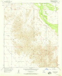
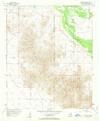
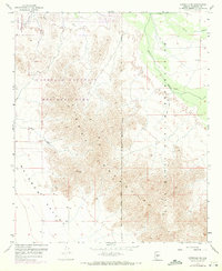
Editions of this 1957 Avondale SE Map
4 editions found
Other maps of this area

1912 · Phoenix
USGS Topo · 1:62,500

1913 · Maricopa
USGS Topo · 1:62,500

1914 · Phoenix
USGS Topo · 1:62,500

1915 · Maricopa
USGS Topo · 1:62,500

1946 · Avondale
USGS Topo · 1:62,500

1948 · Cashion
USGS Topo · 1:62,500

1951 · Mobile
USGS Topo · 1:62,500

1952 · Laveen
USGS Topo · 1:24,000

1952 · Montezuma Peak
USGS Topo · 1:24,000

1952 · Fowler
USGS Topo · 1:24,000