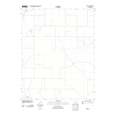
2010 Map of Model
USGS Topo · Published 2010About this map
Model sits in the high plains of southern Colorado, positioned along a transportation corridor that cuts through a landscape defined by intermittent drainage and arid flats. The settlement's layout at this time is oriented toward the rail and road lines that parallel the western edge of the quadrangle. To the south, the Purgatoire River meanders toward the east, providing a critical water source and a geographic anchor for the region. Significant landmarks like Fishers Crossing indicate historical points of transit across the riverbed, which remains a focal point for local navigation. The drainage of Blackwell Arroyo winds across the center of the sheet, illustrating the natural watercourses that have historically shaped land use and ranching boundaries in this part of Las Animas County.
Find a feature on this map
4 named features on this map. Tap any name to fly to it.
Don’t see what you’re looking for? This feature index may not catch every label — zoom into the map to look around manually.
Map Details
Editions of this 2010 Model Map
This is the sole edition of this map. No revisions or reprints were ever made.
Other maps of this area
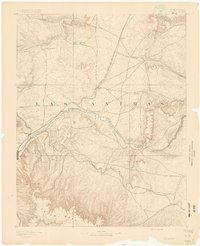
1892 · Elmoro
USGS Topo · 1:125,000
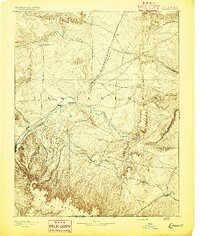
1893 · Elmoro
USGS Topo · 1:125,000
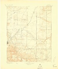
1897 · Elmoro
USGS Topo · 1:125,000
1954 · Trinidad
USGS Topo · 1:250,000
1955 · Trinidad
USGS Topo · 1:250,000
1958 · Trinidad
USGS Topo · 1:250,000
1959 · Trinidad
USGS Topo · 1:250,000
1970 · Earl
USGS Topo · 1:24,000
1970 · Mooney Hills
USGS Topo · 1:24,000
1971 · Tyrone
USGS Topo · 1:24,000