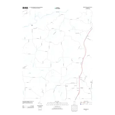
2013 Map of Modesto
USGS Topo · Published 2013About this map
Beanblossom Cr and Indian Cr define the hydrological character of this northern Monroe County landscape, feeding into the larger drainage system of the White River. The area is marked by a complex network of named hollows and small water bodies, including Henke Lake and Paragon Lake, which break up the agricultural and woodland tracts. The small settlements of Modesto and Wayport anchor the local road network, providing historical reference points for the rural community.
Find a feature on this map
84 named features on this map. Tap any name to fly to it.
Don’t see what you’re looking for? This feature index may not catch every label — zoom into the map to look around manually.
Map Details
Editions of this 2013 Modesto Map
This is the sole edition of this map. No revisions or reprints were ever made.
Other maps of this area

1908 · Bloomington
USGS Topo · 1:48,000

1910 · Bloomington
USGS Topo · 1:62,500

1942 · Franklin
USGS Topo · 1:125,000

1947 · Unionville
USGS Topo · 1:24,000

1947 · Gosport
USGS Topo · 1:24,000

1948 · Hindustan
USGS Topo · 1:24,000

1949 · Quincy
USGS Topo · 1:24,000

1950 · Gosport
USGS Topo · 1:24,000

1953 · Indianapolis
USGS Topo · 1:250,000

1955 · Martinsville
USGS Topo · 1:24,000