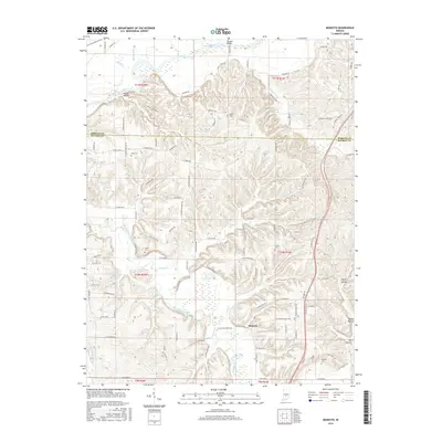
2016 Map of Modesto
USGS Topo · Published 2016About this map
Beanblossom Creek and Indian Cr carve through this section of the Indiana countryside, defining a landscape where the Morgan Co Monroe Co line marks the transition between local jurisdictions. The settlement of Modesto serves as a central point in a region characterized by numerous family and community landmarks, including Sodom Cem, King Cem, and Collier Cem. In the north, the White River creates a wide alluvial plain, contrasted by the tighter drainages of Payne Hollow and Fox Hollow to the east. Transportation is tied to the terrain, with roads like W Wampler Rd and N Mount Pleasant Rd following the ridges and valleys between water bodies like Paragon Lake and Henke Lake.
Find a feature on this map
105 named features on this map. Tap any name to fly to it.
Don’t see what you’re looking for? This feature index may not catch every label — zoom into the map to look around manually.
Map Details
Editions of this 2016 Modesto Map
This is the sole edition of this map. No revisions or reprints were ever made.
Other maps of this area

1908 · Bloomington
USGS Topo · 1:48,000

1910 · Bloomington
USGS Topo · 1:62,500

1942 · Franklin
USGS Topo · 1:125,000

1947 · Unionville
USGS Topo · 1:24,000

1947 · Gosport
USGS Topo · 1:24,000

1948 · Hindustan
USGS Topo · 1:24,000

1949 · Quincy
USGS Topo · 1:24,000

1950 · Gosport
USGS Topo · 1:24,000

1953 · Indianapolis
USGS Topo · 1:250,000

1955 · Martinsville
USGS Topo · 1:24,000