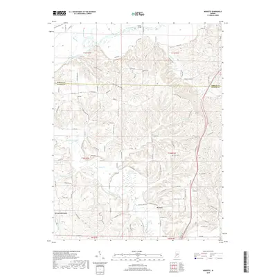
2019 Map of Modesto
USGS Topo · Published 2019About this map
The White River and Beanblossom Creek define the drainage patterns of this borderland between Morgan and Monroe counties. Small rural settlements and family-named landmarks are scattered across the landscape, including the community of Modesto and the northern edge of Ellettsville. The terrain is characterized by numerous hollows, most notably Pocket Hollow, Fox Hollow, and Payne Hollow, which dictate the winding paths of the local road network. Genealogists will find several burial sites preserved on this sheet, such as Sodom Cem, King Cem, and Collier Cem. Notable infrastructure includes the Paragon Bridge crossing the river in the north and the recreational waters of Paragon Lake. The map illustrates the persistent rural character of this Indiana region, where agriculture and natural topography remain more prominent than dense urban development.
Find a feature on this map
107 named features on this map. Tap any name to fly to it.
Don’t see what you’re looking for? This feature index may not catch every label — zoom into the map to look around manually.
Map Details
Editions of this 2019 Modesto Map
This is the sole edition of this map. No revisions or reprints were ever made.
Other maps of this area

1908 · Bloomington
USGS Topo · 1:48,000

1910 · Bloomington
USGS Topo · 1:62,500

1942 · Franklin
USGS Topo · 1:125,000

1947 · Unionville
USGS Topo · 1:24,000

1947 · Gosport
USGS Topo · 1:24,000

1948 · Hindustan
USGS Topo · 1:24,000

1949 · Quincy
USGS Topo · 1:24,000

1950 · Gosport
USGS Topo · 1:24,000

1953 · Indianapolis
USGS Topo · 1:250,000

1955 · Martinsville
USGS Topo · 1:24,000