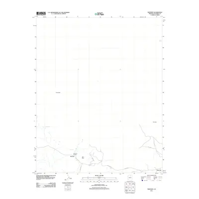
2011 Map of Moenave
USGS Topo · Published 2011About this map
Moenave and the western edge of Tuba City anchor this high-desert landscape in Coconino County. The topography is defined by significant landmarks such as Tuba Butte and Mori Mesa, with the deep cut of Moenave Canyon creating a natural focal point for the settlement. This 2011 survey illustrates a sparse but vital road network, including Indian Rte-23 and Vanzee Rd, connecting these outposts across the arid terrain. The reliance on scarce water sources is evident through the mapping of Cattail Spring, Mesa Spring, and Cliff Spring, which have historically dictated the placement of trails and homesteads in the region. Local transit and geography are further detailed by features like Flat Rock and the winding Tuba City-Gap Trl, showing the intersection of traditional routes and modern infrastructure.
Find a feature on this map
15 named features on this map. Tap any name to fly to it.
Don’t see what you’re looking for? This feature index may not catch every label — zoom into the map to look around manually.
Map Details
Editions of this 2011 Moenave Map
This is the sole edition of this map. No revisions or reprints were ever made.
Other maps of this area
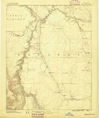
1886 · Echo Cliffs
USGS Topo · 1:250,000
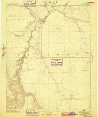
1891 · Echo Cliffs
USGS Topo · 1:250,000
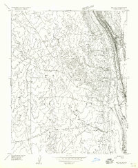
1955 · Moa Ave NW
USGS Topo · 1:24,000
1955 · Moa Ave SW
USGS Topo · 1:24,000
1956 · Marble Canyon
USGS Topo · 1:250,000
1957 · The Gap SW
USGS Topo · 1:24,000
1959 · Marble Canyon
USGS Topo · 1:250,000
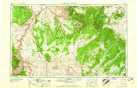
1961 · Marble Canyon
USGS Topo · 1:250,000
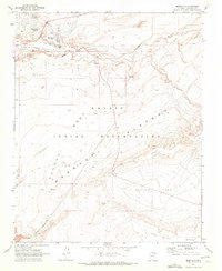
1969 · Moenkopi
USGS Topo · 1:24,000
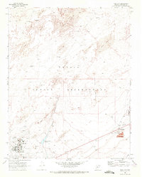
1969 · Tuba City
USGS Topo · 1:24,000