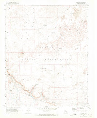
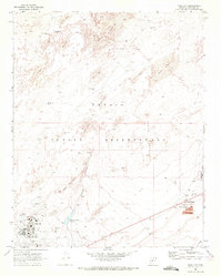
1969 Map of Moenave
USGS Topo · Published 1972About this map
Moenave serves as the primary point of settlement in this high-desert landscape within the Navajo Indian Reservation. The geography is defined by extensive fields of Sand Dunes and dramatic volcanic features like Tuba Butte. Water management is the dominant human imprint on the land, evidenced by a wide-reaching network of family-named wells and natural springs that supported the local population and their livestock.
Find a feature on this map
30 named features on this map. Tap any name to fly to it.
Don’t see what you’re looking for? This feature index may not catch every label — zoom into the map to look around manually.
Map Details
Editions of this 1969 Moenave Map
This is the sole edition of this map. No revisions or reprints were ever made.
Other maps of this area

1886 · Echo Cliffs
USGS Topo · 1:250,000

1891 · Echo Cliffs
USGS Topo · 1:250,000

1955 · Moa Ave NW
USGS Topo · 1:24,000
1955 · Moa Ave SW
USGS Topo · 1:24,000

1956 · Marble Canyon
USGS Topo · 1:250,000
1957 · The Gap SW
USGS Topo · 1:24,000

1959 · Marble Canyon
USGS Topo · 1:250,000

1961 · Marble Canyon
USGS Topo · 1:250,000
1969 · Moenkopi
USGS Topo · 1:24,000
1969 · Tuba City
USGS Topo · 1:24,000