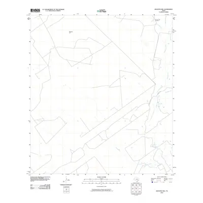
2010 Map of Mogotes Hill
USGS Topo · Published 2010About this map
Mogotes Hill stands as the primary landmark in this rural landscape of southern Texas, where a sparse network of ranch roads and ephemeral watercourses defines the terrain. The presence of the Roy Jennings Lake Dam in the northeast corner indicates localized water management in an area otherwise characterized by the winding beds of Salómoneno Creek and its tributaries. This map provides a clear look at the ranching infrastructure near the turn of the 21st century, centered around the Jennings Rd and Jennings Ranch Rd corridors. The drainage patterns of Las Ovejas Creek, Taquache Creek, and Escobas Creek illustrate the natural watershed of Zapata County, where land use is intimately tied to the intermittent flow of these seasonal streams.
Find a feature on this map
8 named features on this map. Tap any name to fly to it.
Don’t see what you’re looking for? This feature index may not catch every label — zoom into the map to look around manually.
Map Details
Editions of this 2010 Mogotes Hill Map
This is the sole edition of this map. No revisions or reprints were ever made.
Other maps of this area

1940 · Mogotes Hill
USGS Topo · 1:62,500

1942 · San Ygnacio
USGS Topo · 1:62,500

1949 · Mc Allen
USGS Topo · 1:250,000

1954 · McAllen
USGS Topo · 1:250,000

1956 · Mogotes Hill
USGS Topo · 1:62,500

1956 · Zapata
USGS Topo · 1:62,500

1956 · Arroyo Clareno
USGS Topo · 1:62,500

1956 · Laredo
USGS Topo · 1:250,000

1957 · Mc Allen
USGS Topo · 1:250,000

1962 · McAllen
USGS Topo · 1:250,000