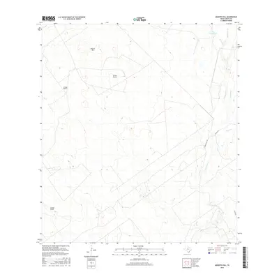
2016 Map of Mogotes Hill
USGS Topo · Published 2016About this map
Mogotes Hill dominates this portion of the South Texas brush country, where a network of ephemeral drainages and ranch roads defines the landscape in the mid-2010s. The drainage patterns of Arroyo Blanco and Cañada Honda reflect the semi-arid environment of Zapata County, leading toward a series of creeks including Salomoneno Cr and Las Ovejas Cr. Human presence is largely marked by cattle-ranching infrastructure, seen in the path of Jennings Ranch Rd and the namesake Roy Jennings Lake. This terrain, characterized by subtle elevation changes and seasonal watercourses like Taquache Cr and Escobas Cr, remains focused on large-scale landholdings and traditional ranching routes such as Tanque Rd.
Find a feature on this map
11 named features on this map. Tap any name to fly to it.
Don’t see what you’re looking for? This feature index may not catch every label — zoom into the map to look around manually.
Map Details
Editions of this 2016 Mogotes Hill Map
This is the sole edition of this map. No revisions or reprints were ever made.
Other maps of this area

1940 · Mogotes Hill
USGS Topo · 1:62,500

1942 · San Ygnacio
USGS Topo · 1:62,500

1949 · Mc Allen
USGS Topo · 1:250,000

1954 · McAllen
USGS Topo · 1:250,000

1956 · Mogotes Hill
USGS Topo · 1:62,500

1956 · Zapata
USGS Topo · 1:62,500

1956 · Arroyo Clareno
USGS Topo · 1:62,500

1956 · Laredo
USGS Topo · 1:250,000

1957 · Mc Allen
USGS Topo · 1:250,000

1962 · McAllen
USGS Topo · 1:250,000